UN/LOCODE hub · Poland
PLSJK

Karsibór

53.8500°, 14.3000°
1
Transport functions

Transport Functions

Port
UN/LOCODE

Hub Profile

Place type
Populated place
GeoNames
Region
West Pomerania
GeoNames
Time zone
Europe/Warsaw
GeoNames
Elevation
-1 m
GeoNames

Location

Location of PLSJK
Natural Earth 10m (public domain) · West Pomerania · PLSJK · 53.85, 14.30GoogleOSMYandex

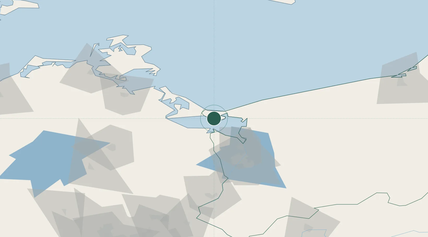
Nearby Logistics Neighbours

Cities
  1. 1Swinoujscie7 km
  2. 2Nowe Warpno13 km
  3. 3Miedzyzdroje14 km
  4. 4Wolin21 km
  5. 5Grambin21 km
Nearest neighbours — logibook spatial index (haversine) over the source coordinates
Ports
  1. 1Swinoujscie8 km
  2. 2Police36 km
  3. 3Wolgast41 km
  4. 4Szczecin51 km
  5. 5Sassnitz85 km
Nearest neighbours — logibook spatial index (haversine) over the source coordinates
Airports
  1. 1Heringsdorf Airport10 km
  2. 2Solidarity Szczecin–Goleniów Airport49 km
  3. 3Neubrandenburg Trollenhagen Airport71 km
  4. 4Swidwin Military Air Base100 km
  5. 5Miroslawiec Military Air Base128 km
Nearest neighbours — logibook spatial index (haversine) over the source coordinates
Trade Zones
  1. 1Swinoujscie Duty Free Zone6 km
  2. 2Szczecin Duty Free Zone51 km
  3. 3Kostrzyń-Słubice SEZ141 km
  4. 4Słupsk SEZ (Słupska SSE)190 km
  5. 5MTS Malmö Transport and Spedition210 km
Nearest neighbours — logibook spatial index (haversine) over the source coordinates
DatabookThe Record of Consolidated Knowledge
Poland beyond logistics?
Browse databook

All Sources

LocationsUN/LOCODE
UN/LOCODE — free
Portsthe NGA World Port Index
Public domain (US gov)
AirportsOurAirports
Public domain
Trade Zonesthe World Bank SEZ database
CC BY 4.0
Trade ZonesOpen Zone Map
CC BY
← Poland locations