Free Trade Zone · Philippines
Amigo Mall Active
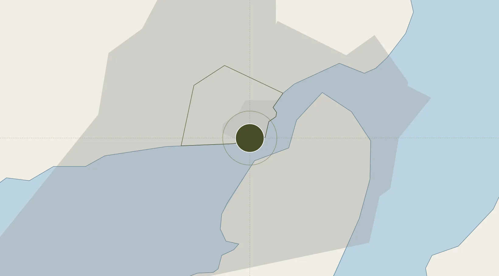
10.6980°, 122.5684°
1 ha
Zone area
1.6 km
Nearest port
17.1 km
Nearest airport
Gateway access
Zone profile
Zone type
Free Trade Zone
Region
Iloilo
Status
Active
Management
Private
Operator
La Filipina Uy Gongco Corporation
Legal framework
Special Economic Zone Act (Republic Act No. 7916) (as amended by Republic Act No. 8748)
Location
Nearby Logistics Neighbours
Ports
- 1Iloilo2 km
- 2Pulupandan32 km
- 3San Carlos96 km
- 4Port Capiz102 km
- 5Toledo122 km
Airports
- 1Iloilo International Airport17 km
- 2Bacolod-Silay International Airport50 km
- 3Evelio Javier Airport70 km
- 4Roxas Airport102 km
- 5Kalibo International Airport111 km
Cities
- 1Iloilo, Panay2 km
- 2Bacolod, Negros41 km
- 3La Carlota49 km
- 4Hamtic66 km
- 5Ajuy73 km
Trade Zones
DatabookThe Record of Consolidated Knowledge
Philippines beyond logistics?