Transport Functions
Multimodal
Hub Profile
Place type
Populated place
Region
Central Visayas
Population
10,955
Time zone
Asia/Manila
Elevation
12 m
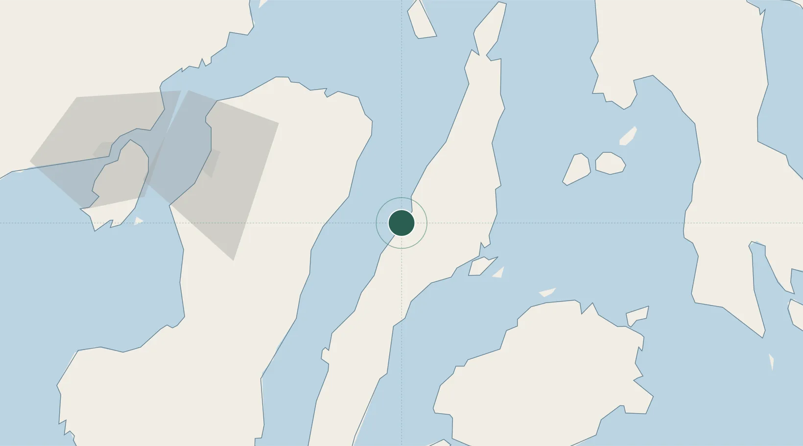
Location
Nearby Logistics Neighbours
Cities
- 1Laguna28 km
- 2Cebu30 km
- 3Mandaue, Cebu31 km
- 4Lapu-Lapu, Cebu33 km
- 5Mactan Island Apt38 km
Ports
- 1Toledo11 km
- 2Cebu29 km
- 3San Carlos29 km
- 4Tubigan64 km
- 5Tagbilaran91 km
Airports
Trade Zones
DatabookThe Record of Consolidated Knowledge
Philippines beyond logistics?