UN/LOCODE hub · United Arab Emirates
AERKT
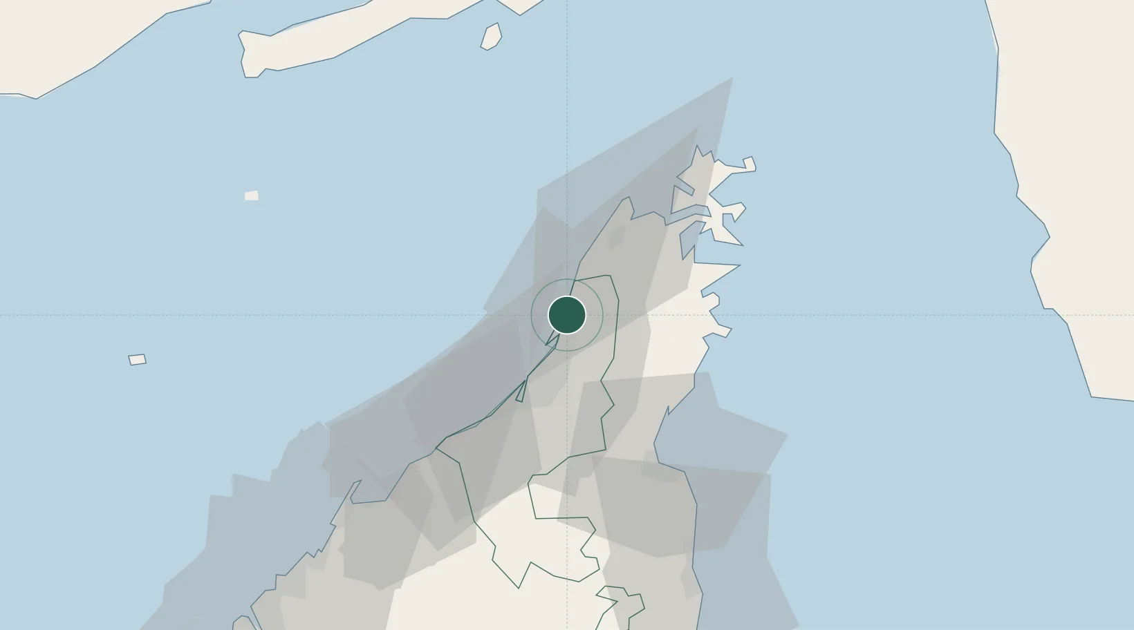
Ras al Khaimah
25.9799°, 56.0597°
351,943
Population
2
Transport functions
1
Container terminals
Transport Functions
Port
Airport
Hub Profile
Place type
Regional capital
Region
Ras Al Khaimah
Population
351,943
Time zone
Asia/Dubai
Elevation
2 m
Logistics facilities
3
Container terminals
1
Location
Nearby Logistics Neighbours
Cities
- 1Mina Saqr2 km
- 2Stevin Rock2 km
- 3Rak Maritime City4 km
- 4Al Jeer Port6 km
- 5Hulaylah Terminal13 km
Ports
- 1Mina Saqr1 km
- 2Hulaylah Oil Terminal13 km
- 3Khawr Khasab32 km
- 4Al Jazeera Port40 km
- 5Umm Al Qaywayn65 km
Airports
Trade Zones
DatabookThe Record of Consolidated Knowledge
United Arab Emirates beyond logistics?