Transport Functions
Port
Rail
Road
Hub Profile
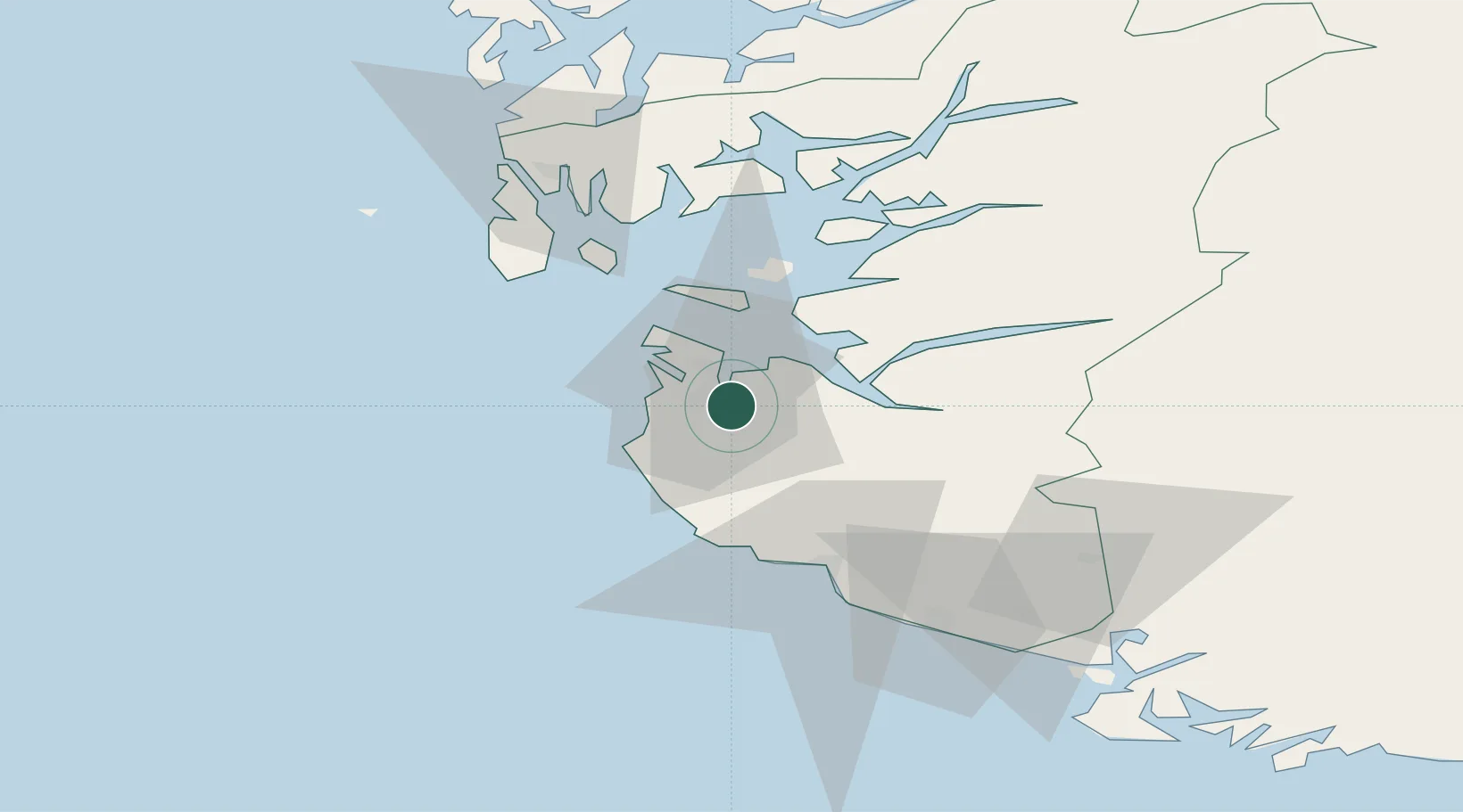
Place type
Provincial seat
Region
Rogaland
Population
85,386
Time zone
Europe/Oslo
Elevation
8 m
Location
Nearby Logistics Neighbours
Ports
- 1Tananger13 km
- 2Stavanger13 km
- 3Skudeneshavn43 km
- 4Karsto48 km
- 5Egersund48 km
Airports
- 1Stavanger Airport, Sola6 km
- 2Haugesund Airport, Karmøy63 km
- 3Stord Airport, Sørstokken107 km
- 4Kristiansand Airport154 km
- 5Bergen Airport, Flesland163 km
Trade Zones
DatabookThe Record of Consolidated Knowledge
Norway beyond logistics?