Transport Functions
Port
Rail
Road
Hub Profile
Place type
Populated place
Region
Rogaland
Time zone
Europe/Oslo
Elevation
20 m
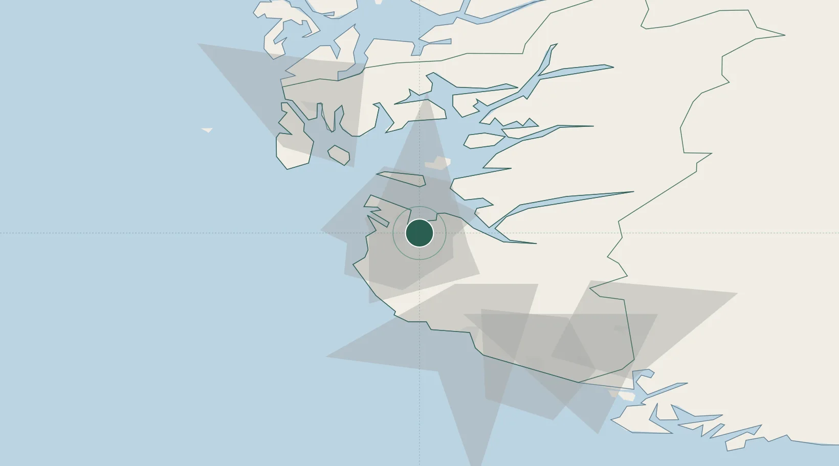
Location
Nearby Logistics Neighbours
Ports
- 1Sandnes1 km
- 2Stavanger9 km
- 3Tananger12 km
- 4Skudeneshavn40 km
- 5Karsto45 km
Airports
- 1Stavanger Airport, Sola7 km
- 2Haugesund Airport, Karmøy60 km
- 3Stord Airport, Sørstokken104 km
- 4Kristiansand Airport155 km
- 5Bergen Airport, Flesland160 km
Trade Zones
DatabookThe Record of Consolidated Knowledge
Norway beyond logistics?