Transport Functions
Port
Rail
Road
Airport
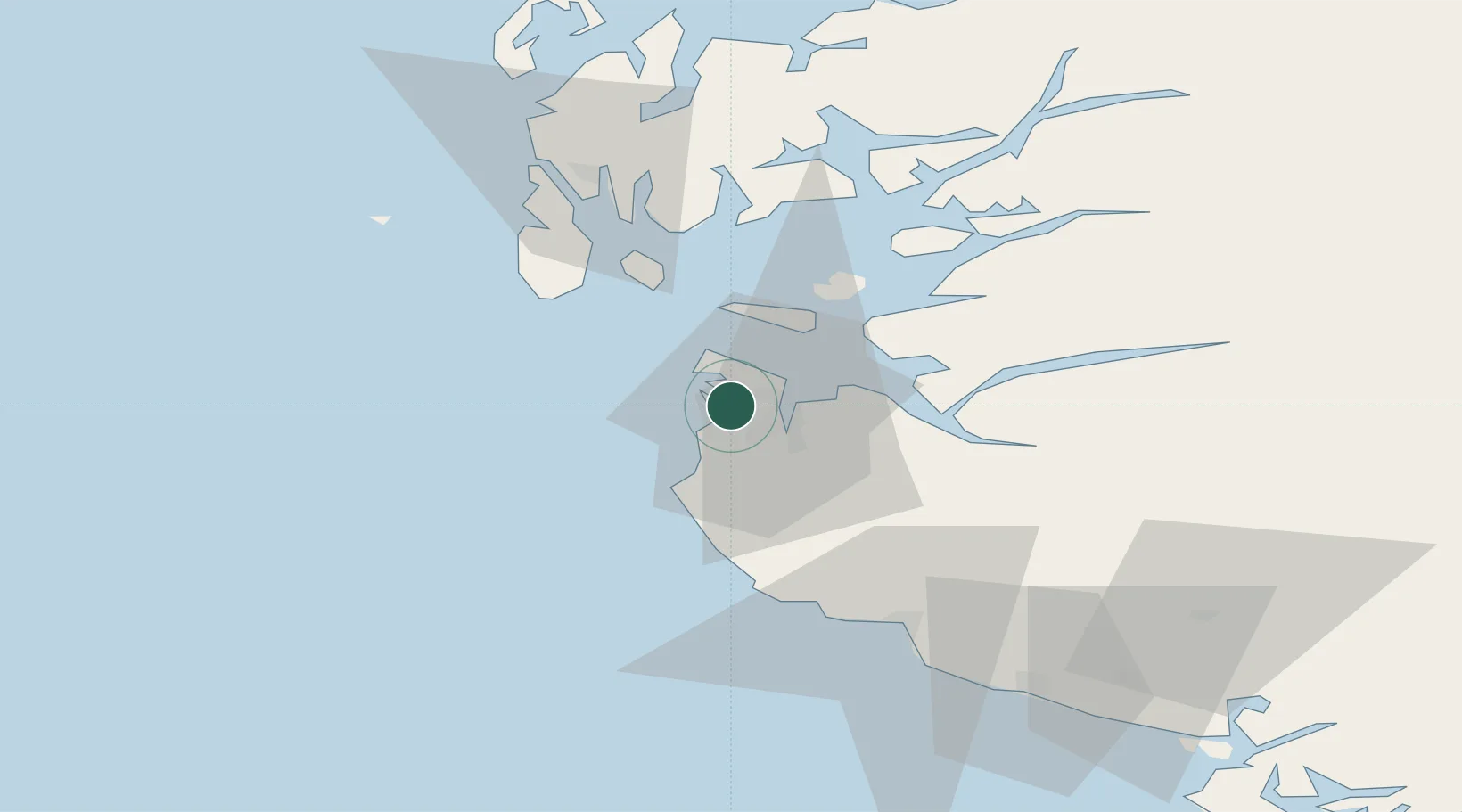
Hub Profile
Place type
Regional capital
Region
Rogaland
Population
148,682
Time zone
Europe/Oslo
Elevation
15 m
Logistics facilities
1
Location
Nearby Logistics Neighbours
Ports
- 1Tananger2 km
- 2Sandnes10 km
- 3Skudeneshavn32 km
- 4Karsto39 km
- 5Kopervik43 km
Airports
- 1Stavanger Airport, Sola6 km
- 2Haugesund Airport, Karmøy52 km
- 3Stord Airport, Sørstokken98 km
- 4Bergen Airport, Flesland154 km
- 5Kristiansand Airport165 km
Trade Zones
DatabookThe Record of Consolidated Knowledge
Norway beyond logistics?