Transport Functions
Port
Road
Hub Profile
Place type
Populated place
Region
Rogaland
Time zone
Europe/Oslo
Elevation
18 m
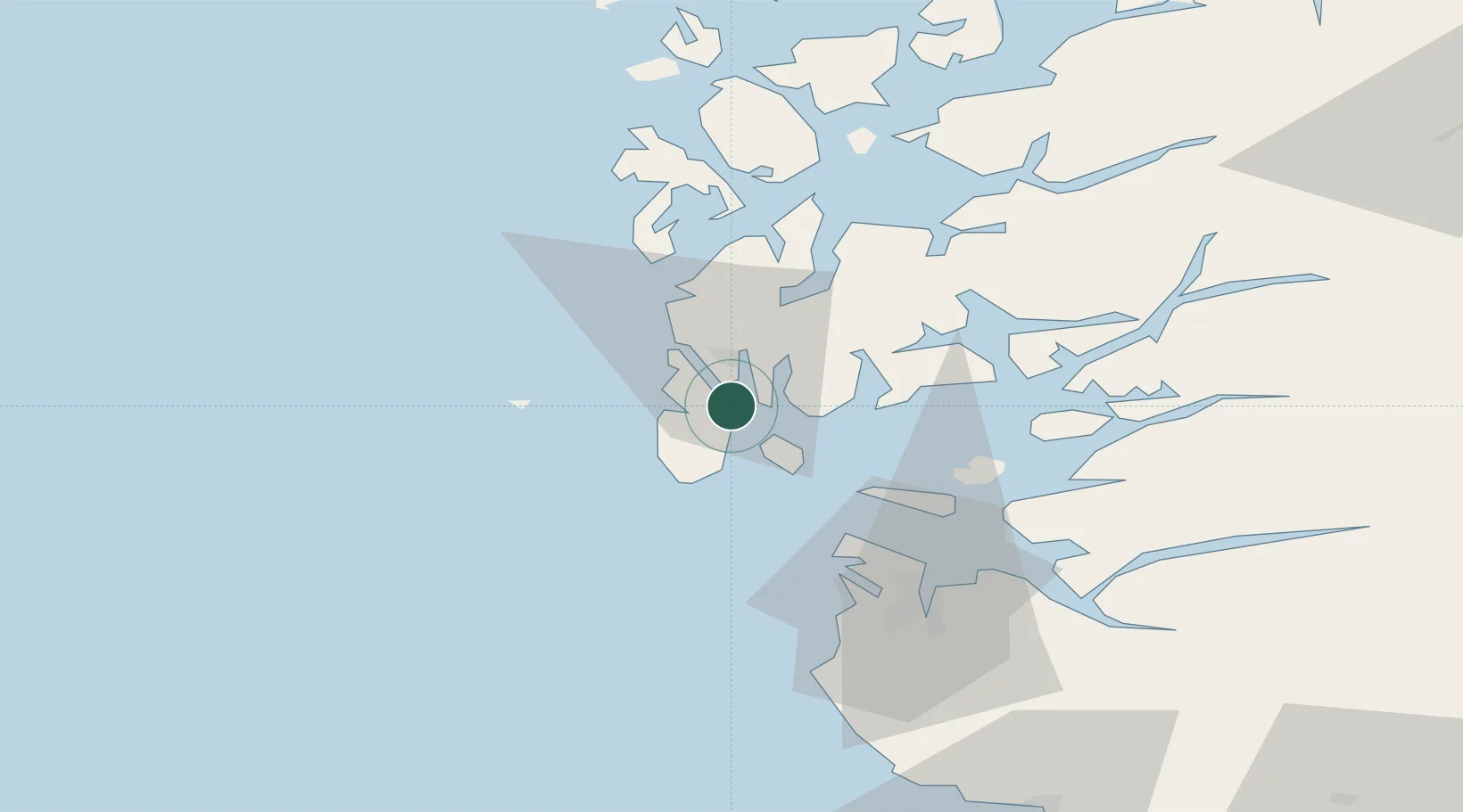
Location
Nearby Logistics Neighbours
Cities
- 1Byggnes - Karmøy1 km
- 2Kopervik2 km
- 3Husøy - Karmøy4 km
- 4Gismarvik4 km
- 5Haugesund4 km
Ports
- 1Kopervik2 km
- 2Akrahamn8 km
- 3Karsto12 km
- 4Haugesund13 km
- 5Skudeneshavn18 km
Airports
- 1Haugesund Airport, Karmøy8 km
- 2Stavanger Airport, Sola51 km
- 3Stord Airport, Sørstokken55 km
- 4Bergen Airport, Flesland111 km
- 5Kristiansand Airport201 km
Trade Zones
DatabookThe Record of Consolidated Knowledge
Norway beyond logistics?