UN/LOCODE hub · Norway
NOHAU
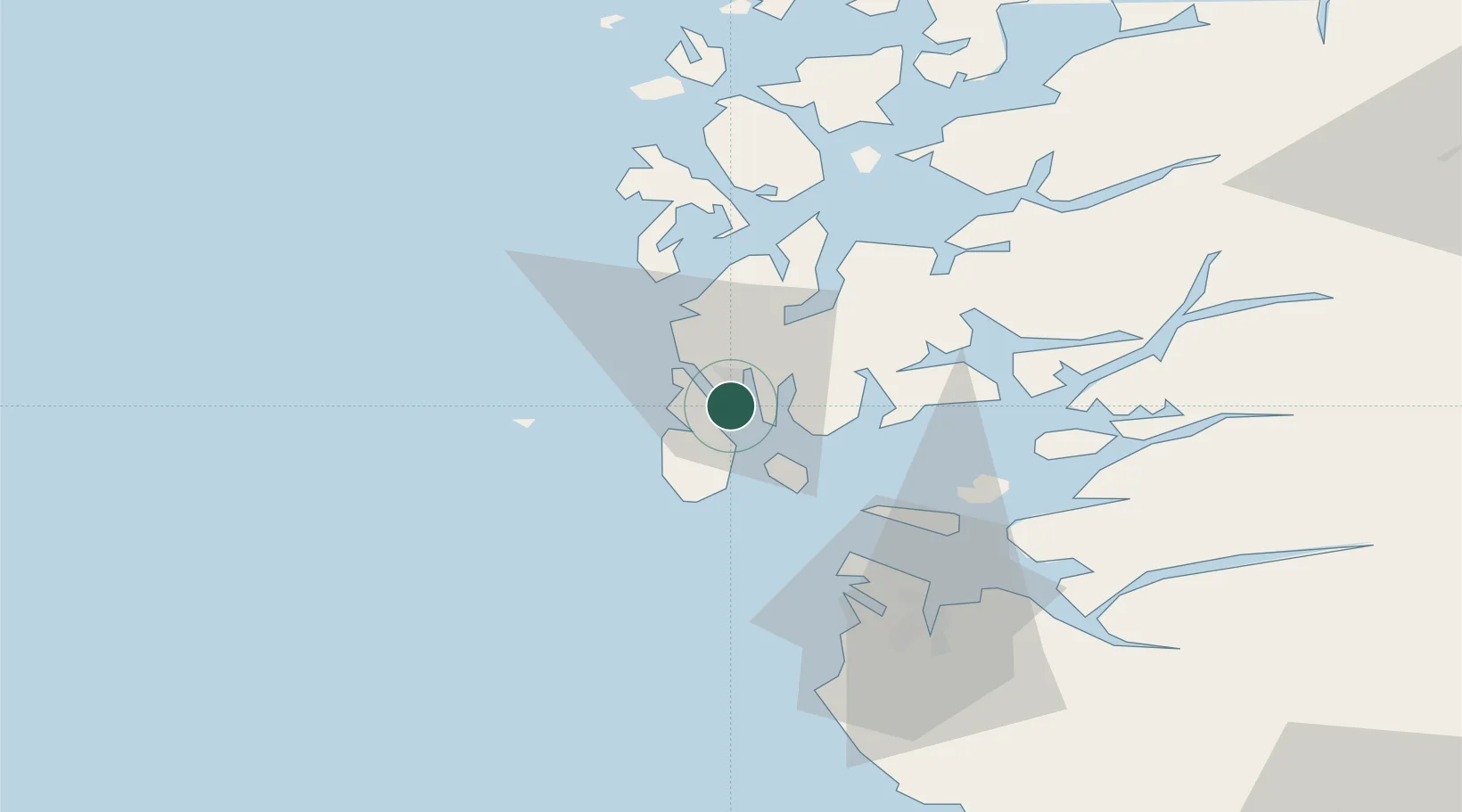
Haugesund
59.3385°, 5.3066°
40,321
Population
3
Transport functions
1
Container terminals
Transport Functions
Port
Road
Airport
Hub Profile
Place type
Provincial seat
Region
Rogaland
Population
40,321
Time zone
Europe/Oslo
Elevation
17 m
Logistics facilities
3
Container terminals
1
Location
Nearby Logistics Neighbours
Cities
- 1Husøy - Karmøy1 km
- 2Vormedal1 km
- 3Avaldsnes3 km
- 4Bøneset - Karmøy3 km
- 5Byggnes - Karmøy4 km
Ports
- 1Kopervik6 km
- 2Akrahamn11 km
- 3Karsto14 km
- 4Skudeneshavn22 km
- 5Mosterhamn40 km
Airports
- 1Haugesund Airport, Karmøy6 km
- 2Stord Airport, Sørstokken50 km
- 3Stavanger Airport, Sola55 km
- 4Bergen Airport, Flesland106 km
- 5Kristiansand Airport204 km
Trade Zones
DatabookThe Record of Consolidated Knowledge
Norway beyond logistics?