UN/LOCODE hub · Norway
NOSLM

Slemmestad

59.7667°, 10.4833°
2
Transport functions

Transport Functions

Port
Road
UN/LOCODE

Hub Profile

Place type
Populated place
GeoNames
Region
Akershus
GeoNames
Time zone
Europe/Oslo
GeoNames
Elevation
8 m
GeoNames

Location

Location of NOSLM
Natural Earth 10m (public domain) · Akershus · NOSLM · 59.77, 10.48GoogleOSMYandex

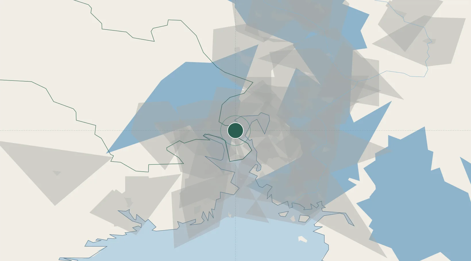
Nearby Logistics Neighbours

Cities
  1. 1Bjørkås2 km
  2. 2Spikkestad9 km
  3. 3Engene10 km
  4. 4Slependen11 km
  5. 5Tranby12 km
Nearest neighbours — logibook spatial index (haversine) over the source coordinates
Ports
  1. 1Fagerstrand7 km
  2. 2Drammen14 km
  3. 3Drobak14 km
  4. 4Svelvik17 km
  5. 5Oslo21 km
Nearest neighbours — logibook spatial index (haversine) over the source coordinates
Airports
  1. 1Moss Airport, Rygge46 km
  2. 2Oslo-Gardermoen International Airport59 km
  3. 3Sandefjord Airport, Torp66 km
  4. 4Notodden Airport75 km
  5. 5Skien Airport83 km
Nearest neighbours — logibook spatial index (haversine) over the source coordinates
Trade Zones
  1. 1Gothenburg Boundless Customs Warehouse242 km
  2. 2Jönköping Free Zone305 km
  3. 3Stockholm Free Zone432 km
  4. 4Freeport of Copenhagen- Nordhavn468 km
  5. 5MTS Malmö Transport and Spedition488 km
Nearest neighbours — logibook spatial index (haversine) over the source coordinates
DatabookThe Record of Consolidated Knowledge
Norway beyond logistics?
Browse databook

All Sources

LocationsUN/LOCODE
UN/LOCODE — free
Portsthe NGA World Port Index
Public domain (US gov)
AirportsOurAirports
Public domain
Trade Zonesthe World Bank SEZ database
CC BY 4.0
Trade ZonesOpen Zone Map
CC BY
← Norway locations