Transport Functions
Rail
Road
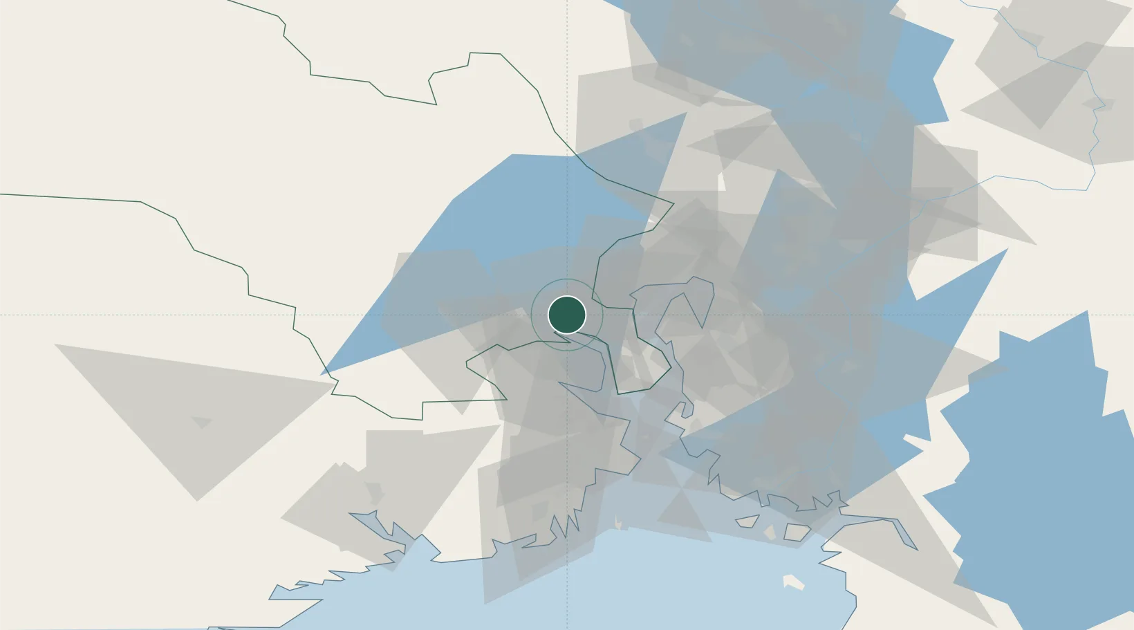
Hub Profile
Place type
Populated place
Region
Buskerud
Population
5,322
Time zone
Europe/Oslo
Elevation
201 m
Location
Nearby Logistics Neighbours
Cities
- 1Spikkestad5 km
- 2Drammen5 km
- 3Solbergelva11 km
- 4Slemmestad12 km
- 5Bjørkås13 km
Ports
- 1Drammen6 km
- 2Fagerstrand19 km
- 3Svelvik20 km
- 4Drobak24 km
- 5Oslo30 km
Airports
- 1Moss Airport, Rygge54 km
- 2Notodden Airport64 km
- 3Oslo-Gardermoen International Airport65 km
- 4Sandefjord Airport, Torp66 km
- 5Skien Airport77 km
Trade Zones
DatabookThe Record of Consolidated Knowledge
Norway beyond logistics?