Transport Functions
Port
Road
Hub Profile
Region
02
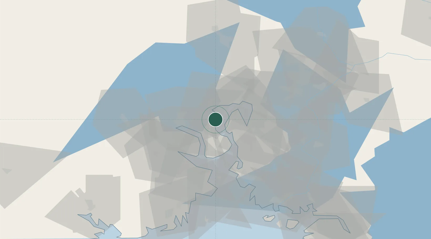
Location
Nearby Logistics Neighbours
Cities
- 1Slemmestad2 km
- 2Slependen9 km
- 3Spikkestad10 km
- 4Sandvika11 km
- 5Engene11 km
Ports
- 1Fagerstrand7 km
- 2Drammen15 km
- 3Drobak15 km
- 4Oslo19 km
- 5Svelvik19 km
Airports
- 1Moss Airport, Rygge48 km
- 2Oslo-Gardermoen International Airport57 km
- 3Sandefjord Airport, Torp68 km
- 4Notodden Airport76 km
- 5Skien Airport85 km
Trade Zones
DatabookThe Record of Consolidated Knowledge
Norway beyond logistics?