UN/LOCODE hub · Norway
NODRM
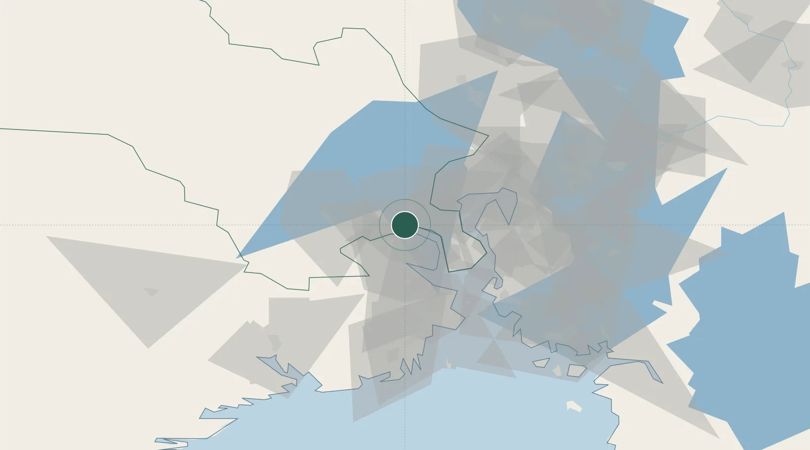
Drammen
59.7379°, 10.2321°
105,042
Population
3
Transport functions
1
Container terminals
Transport Functions
Port
Rail
Road
Hub Profile
Place type
Regional capital
Region
Buskerud
Population
105,042
Time zone
Europe/Oslo
Elevation
11 m
Logistics facilities
3
Container terminals
1
Location
Nearby Logistics Neighbours
Cities
- 1Tranby5 km
- 2Spikkestad6 km
- 3Solbergelva10 km
- 4Slemmestad14 km
- 5Bjørkås16 km
Ports
- 1Svelvik17 km
- 2Fagerstrand20 km
- 3Drobak24 km
- 4Holmestrand28 km
- 5Tofte29 km
Airports
- 1Moss Airport, Rygge51 km
- 2Notodden Airport60 km
- 3Sandefjord Airport, Torp61 km
- 4Oslo-Gardermoen International Airport70 km
- 5Skien Airport72 km
Trade Zones
DatabookThe Record of Consolidated Knowledge
Norway beyond logistics?