UN/LOCODE hub · Norway
NOBGO
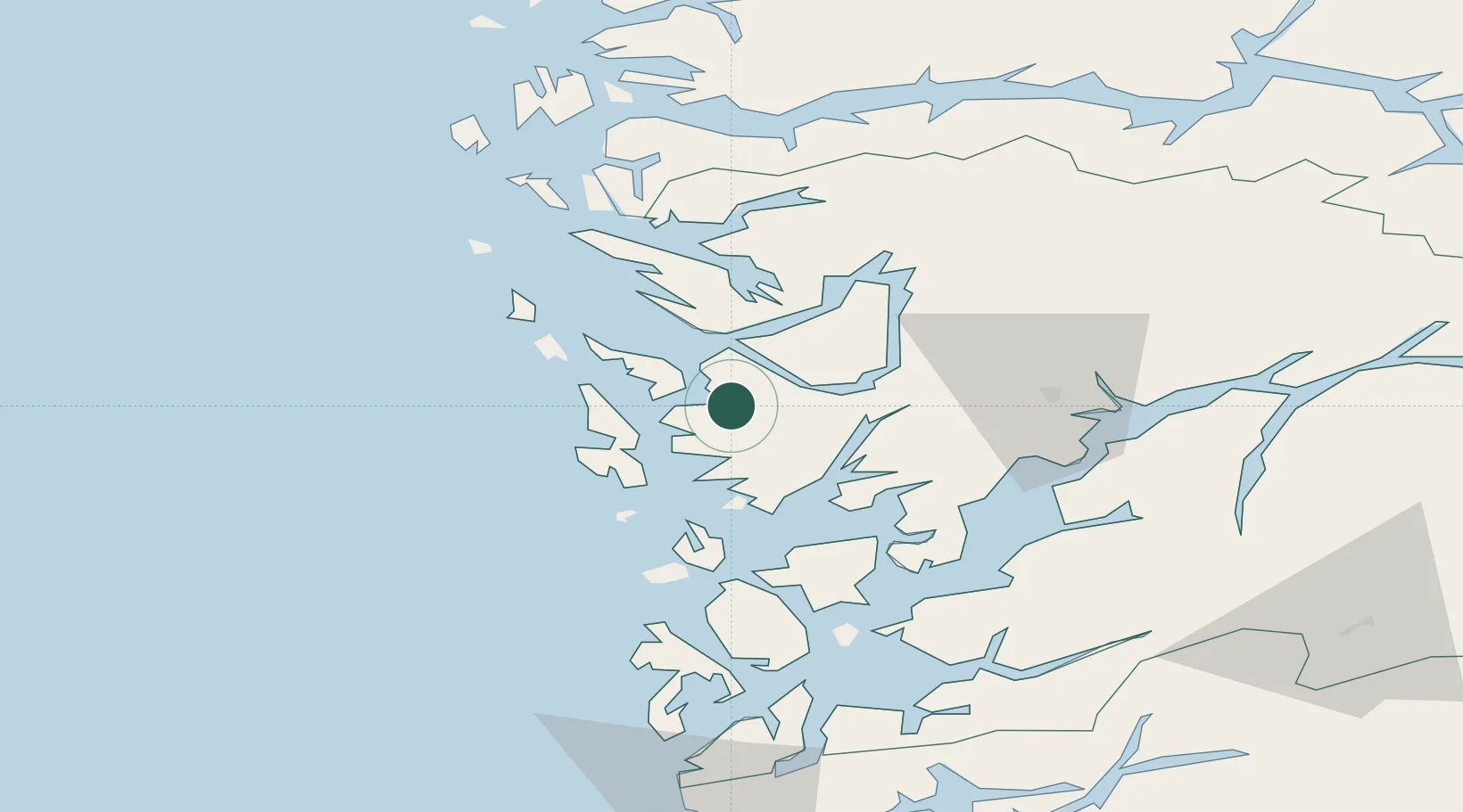
Bergen
60.3890°, 5.3122°
294,029
Population
4
Transport functions
1
Container terminals
Transport Functions
Port
Rail
Road
Airport
Hub Profile
Place type
Regional capital
Region
Vestland
Population
294,029
Time zone
Europe/Oslo
Elevation
20 m
Logistics facilities
4
Container terminals
1
Location
Nearby Logistics Neighbours
Cities
- 1Laksevåg1 km
- 2Hegreneset3 km
- 3Skålevik4 km
- 4Florvåg5 km
- 5Kleppestø5 km
Ports
- 1Haakonsvern8 km
- 2Brattholmen9 km
- 3Vaksdal25 km
- 4Stura36 km
- 5Norheimsund46 km
Airports
- 1Bergen Airport, Flesland12 km
- 2Stord Airport, Sørstokken66 km
- 3Førde Airport, Bringeland114 km
- 4Haugesund Airport, Karmøy116 km
- 5Sogndal Airport, Haukåsen131 km
Trade Zones
DatabookThe Record of Consolidated Knowledge
Norway beyond logistics?