Transport Functions
Port
Road
Hub Profile
Region
12
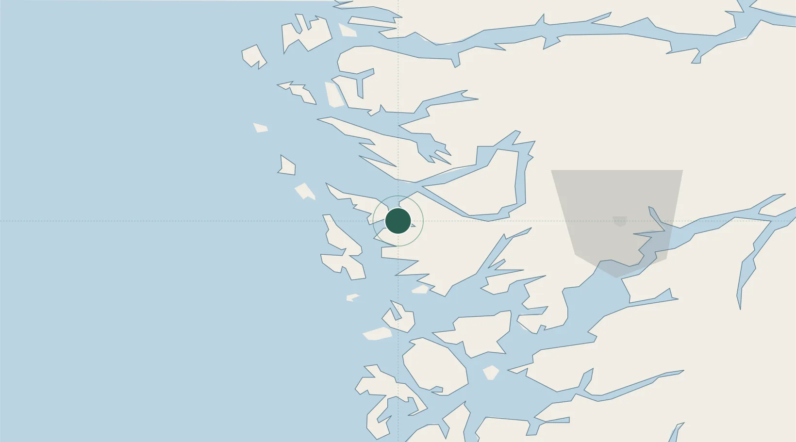
Location
Nearby Logistics Neighbours
Cities
- 1Florvåg0 km
- 2Skarholmen3 km
- 3Hegreneset4 km
- 4Skålevik4 km
- 5Horsøy4 km
Ports
- 1Bergen4 km
- 2Brattholmen8 km
- 3Haakonsvern9 km
- 4Vaksdal28 km
- 5Stura31 km
Airports
- 1Bergen Airport, Flesland14 km
- 2Stord Airport, Sørstokken70 km
- 3Førde Airport, Bringeland112 km
- 4Haugesund Airport, Karmøy119 km
- 5Florø Airport130 km
Trade Zones
DatabookThe Record of Consolidated Knowledge
Norway beyond logistics?