Transport Functions
Port
Road
Hub Profile
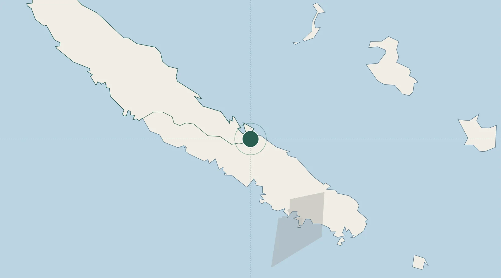
Place type
Populated place
Region
North Province
Time zone
Pacific/Noumea
Elevation
11 m
Location
Nearby Logistics Neighbours
Ports
- 1Baie De Kouaoua29 km
- 2Baie Ugue67 km
- 3Noumea91 km
- 4Port Vila487 km
- 5Luganville681 km
Airports
- 1La Tontouta International Airport55 km
- 2Nouméa Magenta Airport91 km
- 3Ouvéa Airport116 km
- 4Touho Airport117 km
- 5Koné Airport136 km
Trade Zones
- 1Vanuatu Economic Development Zone683 km
- 2Lautoka Special Zone1271 km
- 3Rotuma-Kadavu Tax-Free Region1349 km
- 4Kalabu Tax Free Zone1357 km
- 5Nausori-Ba Tax-Free Region1364 km
DatabookThe Record of Consolidated Knowledge
New Caledonia beyond logistics?