Transport Functions
Port
Road
Postal
Hub Profile
Place type
Populated place
Region
Réunion
Population
33,336
Time zone
Indian/Reunion
Elevation
22 m
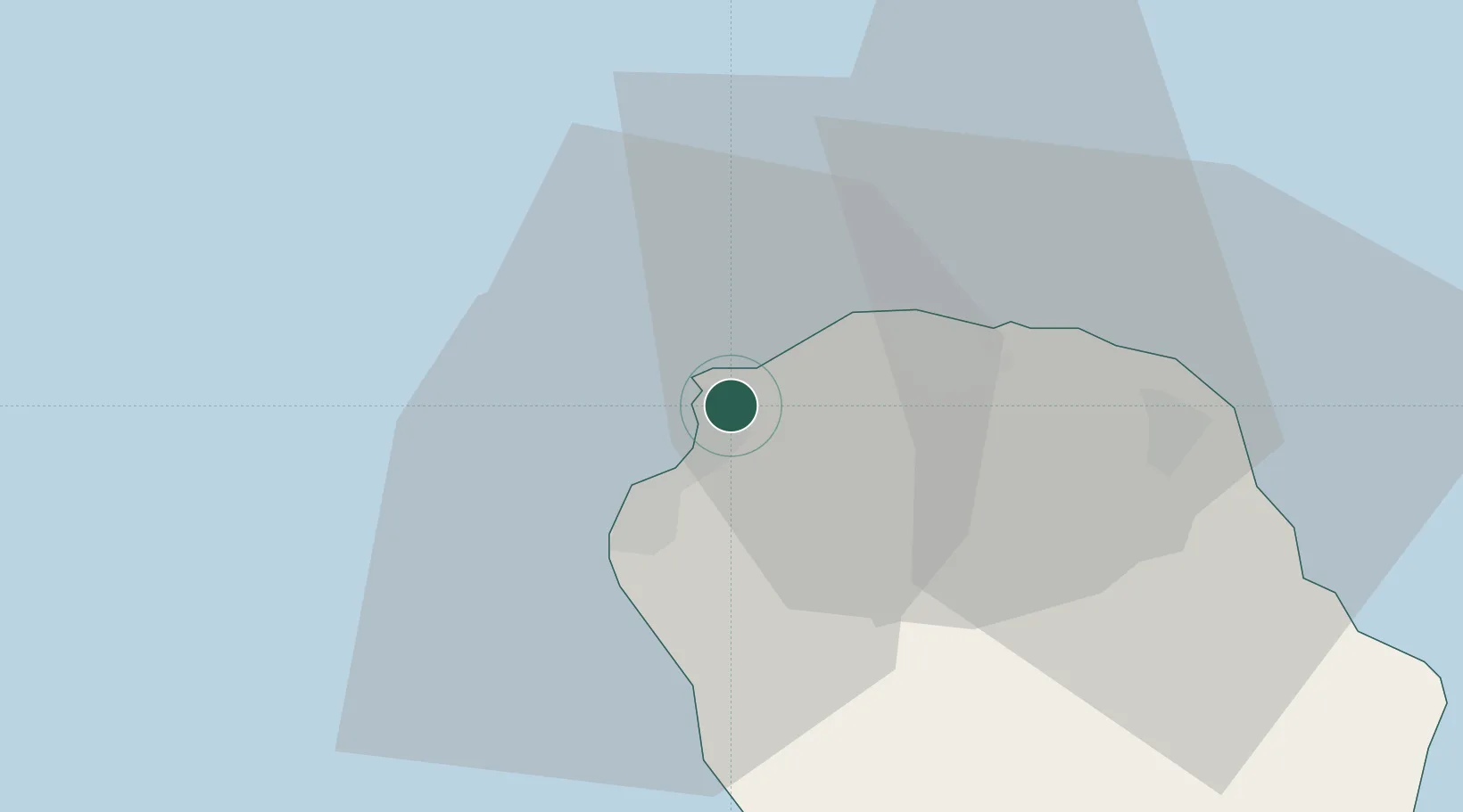
Location
Nearby Logistics Neighbours
Cities
- 1Possession2 km
- 2Saint-Paul8 km
- 3Saint-Denis21 km
- 4Sainte-Suzanne30 km
- 5Saint-Benoît43 km
Ports
- 1Saint-Denis16 km
- 2Saint-Pierre49 km
- 3Port Louis244 km
- 4Toamasina690 km
- 5Mananjary725 km
Airports
Trade Zones