Large airport · Madagascar
Ivato International AirportFMMI
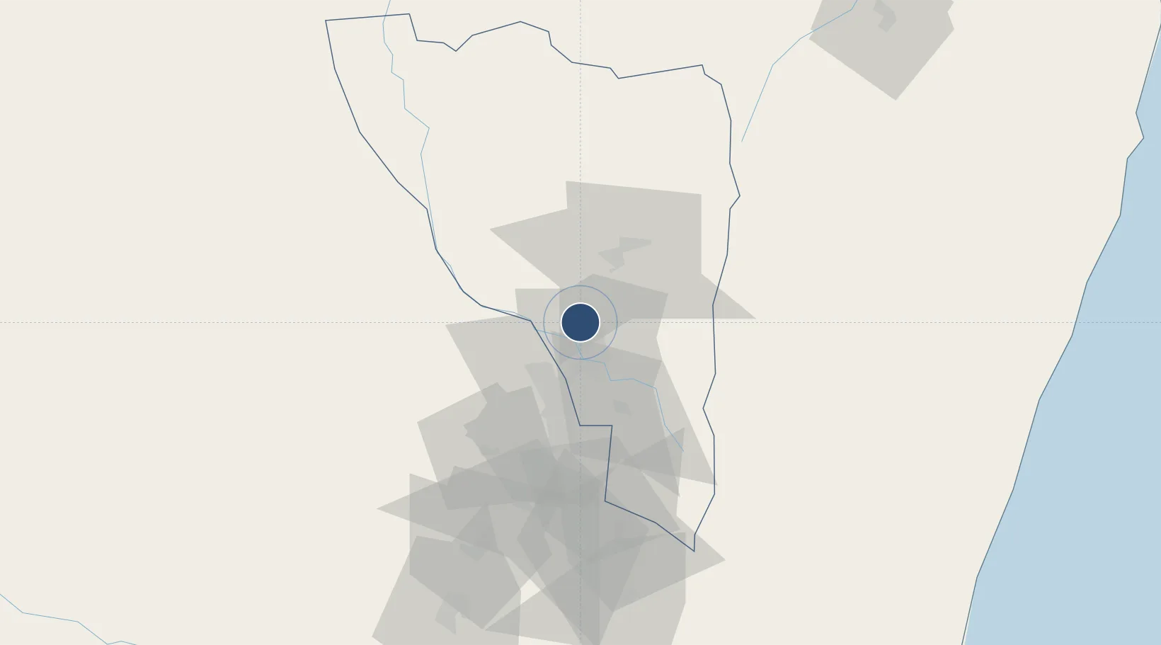
-18.7969°, 47.4788°
10,171 ft
Longest runway
1
Runways
4,198 ft
Elevation
Runway & Layout

Radio Frequencies
TWR
120.1 MHz
Navaids
TNV VOR-DME Ivato 114.50 MHz
Runways · 1
| Runway | Dimensions | Surface | True heading | Lit |
|---|---|---|---|---|
| 11/29 | 10,171 × 148ft | Asphalt | 099° | ✓ |
Airport Specifications
IATA code
TNR
ICAO code
FMMI
Airport class
Large airport
Scheduled service
Yes
Runway surface
Asphalt
Served city
Antananarivo
Location
Nearby Logistics Neighbours
Airports
- 1Toamasina Ambalamanasy Airport216 km
- 2Tsaratanana Airport228 km
- 3Miandrivazo Airport229 km
- 4Mananjary Airport283 km
- 5Fianarantsoa Airport297 km
Cities
- 1Tamatave (Toamasina)216 km
- 2Nosy-Be613 km
- 3Tulear (Toliara)644 km
- 4Chirongui698 km
- 5Kani-Kéli698 km
Trade Zones
- 1Moramanga Textile City Zone77 km
- 2Tsarakofafa Special Economic Zone213 km
- 3Toamasina Autonomous Port217 km
- 4Betsinjaka Special Economic Zone643 km
- 5Ehoala Park699 km
DatabookThe Record of Consolidated Knowledge
Madagascar beyond logistics?