Medium airport · Madagascar
Miandrivazo AirportFMMN
-19.5628°, 45.4508°
3,609 ft
Longest runway
1
Runways
203 ft
Elevation
Runway & Layout

Radio Frequencies
A/G
548.4 MHz
A/G VOICE RDO
Runways · 1
| Runway | Dimensions | Surface | True heading | Lit |
|---|---|---|---|---|
| 16/34 | 3,609 × 98ft | Asphalt | 148° | — |
Airport Specifications
IATA code
ZVA
ICAO code
FMMN
Airport class
Medium airport
Scheduled service
No
Runway surface
Asphalt
Served city
Miandrivazo
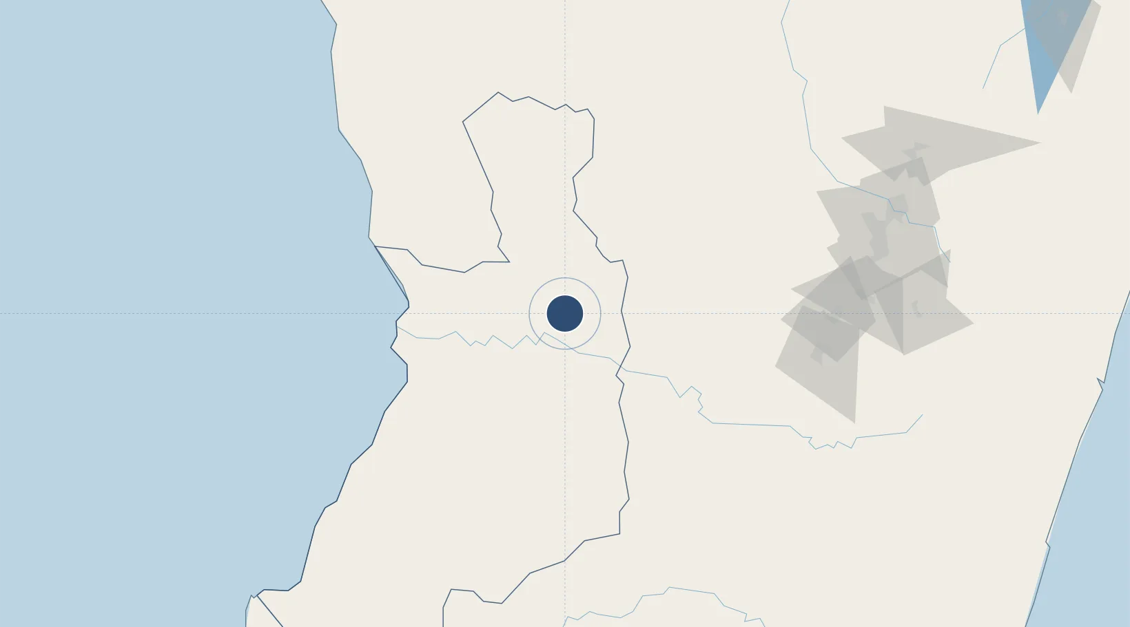
Location
Nearby Logistics Neighbours
Airports
- 1Morondava Airport143 km
- 2Ivato International Airport229 km
- 3Fianarantsoa Airport271 km
- 4Tambohorano Airport280 km
- 5Morombe Airport326 km
Cities
- 1Tamatave (Toamasina)446 km
- 2Tulear (Toliara)462 km
- 3Amboasary Sud616 km
- 4Ehoala631 km
- 5Coropoa697 km
Ports
- 1Morondava145 km
- 2Maintirano225 km
- 3Mananjary354 km
- 4Manakara392 km
- 5Mahajanga437 km
Trade Zones
- 1Moramanga Textile City Zone297 km
- 2Tsarakofafa Special Economic Zone442 km
- 3Toamasina Autonomous Port447 km
- 4Betsinjaka Special Economic Zone462 km
- 5Ehoala Park632 km
DatabookThe Record of Consolidated Knowledge
Madagascar beyond logistics?