UN/LOCODE hub · Mozambique
MZMNC
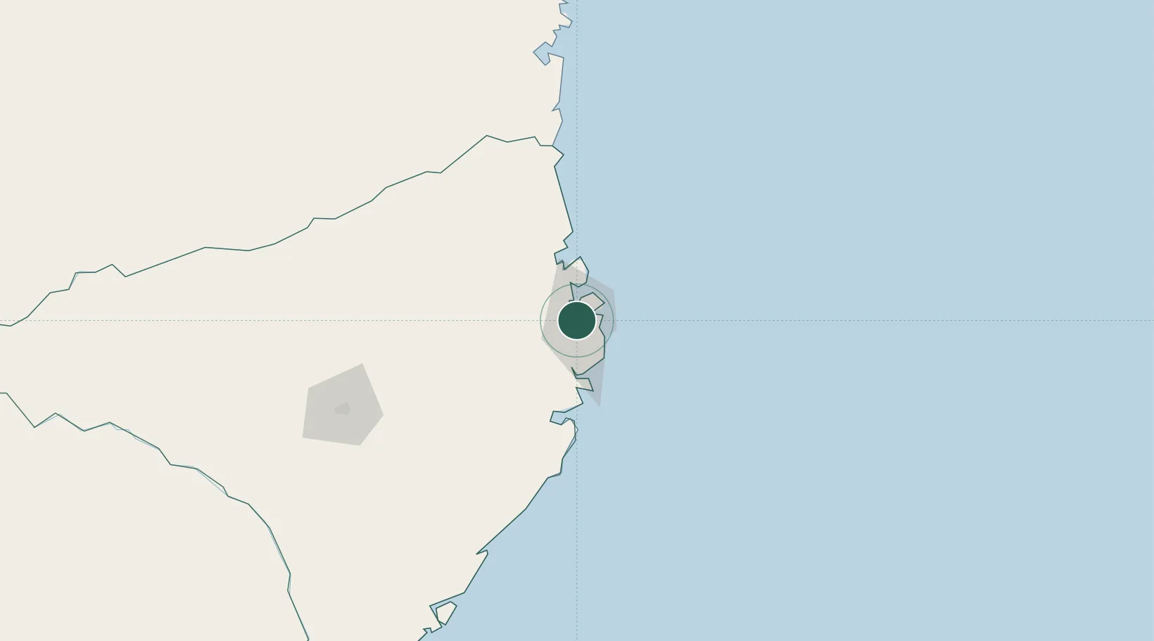
Nacala
-14.5707°, 40.6755°
239,808
Population
2
Transport functions
1
Container terminals
Transport Functions
Port
Airport
Hub Profile
Place type
Populated place
Region
Nampula
Population
239,808
Time zone
Africa/Maputo
Elevation
137 m
Logistics facilities
7
Container terminals
1
Location
Nearby Logistics Neighbours
Cities
- 1Meconta102 km
- 2Zambezia214 km
- 3Coropoa243 km
- 4Mocímboa da Praia362 km
- 5Anjouan Apt480 km
Ports
- 1Mocambique52 km
- 2Pemba179 km
- 3Ibo249 km
- 4Pebane404 km
- 5Fomboni420 km
Airports
- 1Nacala International Airport10 km
- 2Nampula Airport161 km
- 3Pemba Airport176 km
- 4Mueda Airport344 km
- 5Mocímboa da Praia Airport359 km
DatabookThe Record of Consolidated Knowledge
Mozambique beyond logistics?