Medium airport · Madagascar
Morondava AirportFMMV
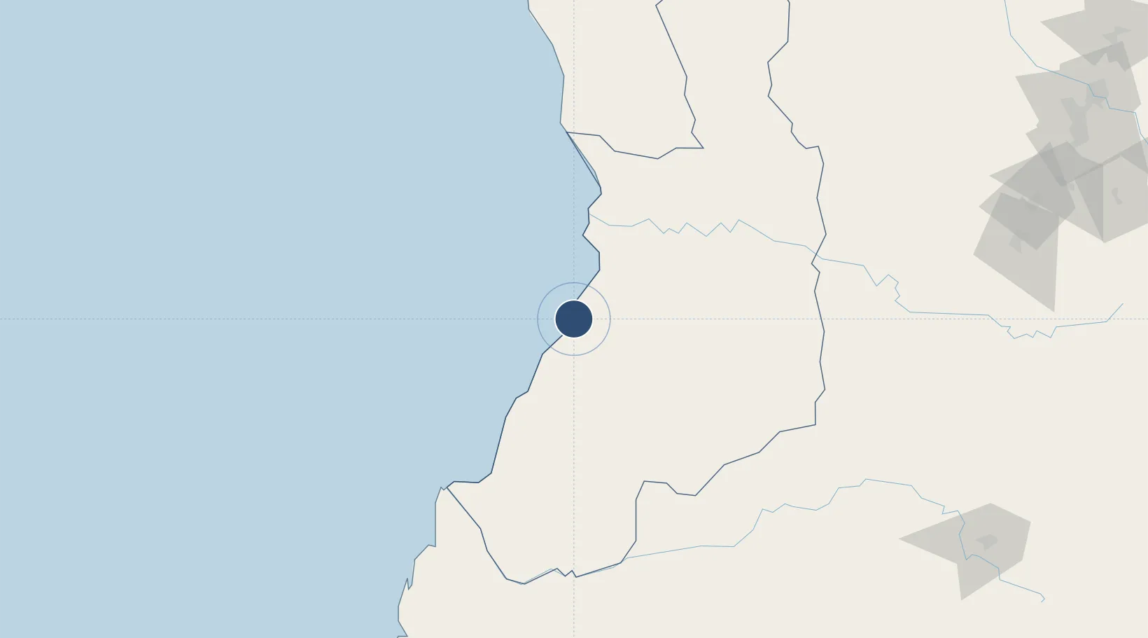
-20.2847°, 44.3176°
4,921 ft
Longest runway
2
Runways
30 ft
Elevation
Runway & Layout

Radio Frequencies
A/G
548.4 MHz
A/G VOICE RDO
AFIS
120.7 MHz
Navaids
VSO NDB Morondava 397 kHz
Runways · 2
| Runway | Dimensions | Surface | True heading | Lit |
|---|---|---|---|---|
| 10/28 | 4,921 × 98ft | Asphalt | 088° | ✓ |
| 14/32 | 4,413 × 115ft | Asphalt | 124° | — |
Airport Specifications
IATA code
MOQ
ICAO code
FMMV
Airport class
Medium airport
Scheduled service
Yes
Runway surface
Asphalt
Served city
Morondava
Location
Nearby Logistics Neighbours
Airports
- 1Miandrivazo Airport143 km
- 2Morombe Airport190 km
- 3Tambohorano Airport314 km
- 4Fianarantsoa Airport318 km
- 5Toliara Airport350 km
Cities
- 1Tulear (Toliara)349 km
- 2Amboasary Sud569 km
- 3Tamatave (Toamasina)585 km
- 4Ehoala596 km
- 5Coropoa643 km
Ports
- 1Morondava2 km
- 2Maintirano249 km
- 3Toliara349 km
- 4Mananjary431 km
- 5Manakara437 km
Trade Zones
- 1Betsinjaka Special Economic Zone350 km
- 2Moramanga Textile City Zone433 km
- 3Tsarakofafa Special Economic Zone582 km
- 4Toamasina Autonomous Port586 km
- 5Ehoala Park597 km
DatabookThe Record of Consolidated Knowledge
Madagascar beyond logistics?