Seaport · Mozambique
NacalaMZMNC
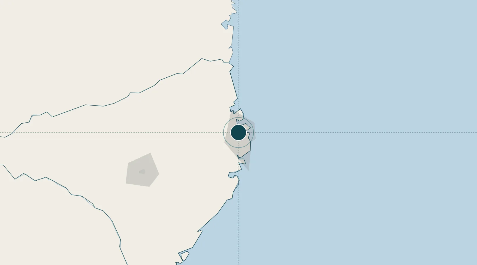
-14.5333°, 40.6667°
23.2 m
Channel depth
1
Container terminals
75.1
Port liner connectivity
Channel & Berth Profile
Pilotage, Tugs & Services
Pilotage compulsoryYES
Pilotage availableYES
Pilotage advisableYES
Tug assistanceYES
Shore powerYES
Potable waterYES
Diesel bunkersYES
MedicalYES
Garbage disposalYES
Facilities & Capabilities
Container—
Ro-Ro—
Liquid bulk—
Dry bulk—
Oil terminal—
Break bulk—
Dry dock—
RepairsNO
Bunkering—
Rail link—
Dangerous cargo—
ISPS security—
Harbour Specifications
Harbour size
Very Small
Harbour type
Coastal (Natural)
Shelter
Good
Water body
Mozambique Channel; Indian Ocean
Tidal range
3 m
Pilotage
Yes
Liner Connectivity
75.1
PLSCI
Port Liner Shipping Connectivity Index for Nacala, as published by UNCTAD for the latest available quarter. Higher values indicate stronger scheduled liner-shipping integration.
Shown relative to the highest per-port PLSCI in the dataset (1,657.9).
Location
Container Terminals · 1
NACALA CONTAINER TERMINAL
NCT MOZAMBIQUE PORTS AND RAILWAYS (CFM)
Nearby Logistics Neighbours
Ports
- 1Mocambique56 km
- 2Pemba175 km
- 3Ibo245 km
- 4Pebane406 km
- 5Fomboni418 km
Cities
- 1Meconta103 km
- 2Zambezia210 km
- 3Coropoa246 km
- 4Mocímboa da Praia358 km
- 5Mtwara477 km
Airports
- 1Nacala International Airport7 km
- 2Nampula Airport162 km
- 3Pemba Airport172 km
- 4Mueda Airport340 km
- 5Mocímboa da Praia Airport354 km
DatabookThe Record of Consolidated Knowledge
Mozambique beyond logistics?