Runway & Layout

Airport Specifications
IATA code
WTA
ICAO code
FMMU
Airport class
Small airport
Scheduled service
Yes
Served city
Tambohorano
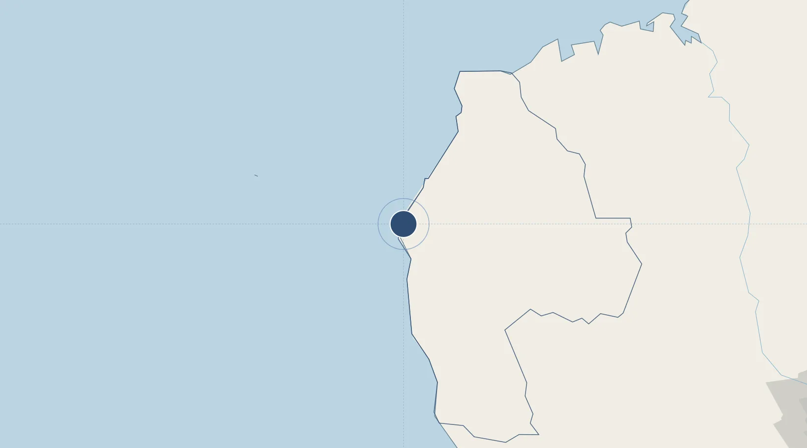
Location
Nearby Logistics Neighbours
Airports
- 1Besalampy Airport98 km
- 2Soalala Airport212 km
- 3Miandrivazo Airport280 km
- 4Morondava Airport314 km
- 5Amborovy Airport324 km
Ports
- 1Maintirano66 km
- 2Morondava314 km
- 3Mahajanga316 km
- 4Mocambique440 km
- 5Nacala482 km
Trade Zones
DatabookThe Record of Consolidated Knowledge
Madagascar beyond logistics?