UN/LOCODE hub · Japan
JPUKB
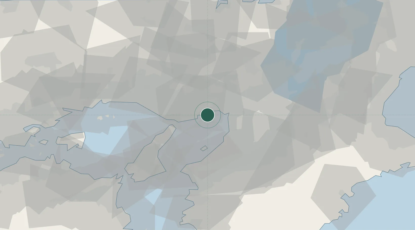
Kobe
34.6771°, 135.2574°
1,525,152
Population
5
Transport functions
9
Container terminals
Transport Functions
Port
Rail
Road
Airport
Postal
Hub Profile
Place type
Regional capital
Region
Hyōgo
Population
1,525,152
Time zone
Asia/Tokyo
Elevation
35 m
Logistics facilities
27
Container terminals
9
Location
Nearby Logistics Neighbours
Cities
- 1Nada-Ku, Hyogo3 km
- 2Ashiya, Hyogo8 km
- 3Hyogo8 km
- 4AmagasakiNishinomiyaAshiya15 km
- 5Osaka15 km
Ports
- 1Amagasaki12 km
- 2Osaka16 km
- 3Sakai-Senboku21 km
- 4Hannan Ko25 km
- 5Higashi-Harima39 km
Airports
Trade Zones
- 1Kansai Innovation International Strategic Comprehensive Special Zone21 km
- 2Rinku Town Izumisano City Area Regional Revitalization Comprehensive Special Zone31 km
- 3Awaji Environmental Future Island Special Zone49 km
- 4Nara Park Tourist Area Revitalization Comprehensive Special Zone54 km
- 5Wakayama Prefecture "Takano Kumano" Cultural and Regional Promotion Comprehensive Special Zone59 km
DatabookThe Record of Consolidated Knowledge
Japan beyond logistics?