Channel & Berth Profile
Pilotage, Tugs & Services
Pilotage compulsoryYES
Pilotage availableYES
Tug assistanceYES
Shore powerYES
Potable waterYES
MedicalYES
Facilities & Capabilities
Container—
Ro-Ro—
Liquid bulk—
Dry bulk—
Oil terminal—
Break bulk—
Dry dockNO
RepairsNO
BunkeringYES
Rail linkYES
Dangerous cargo—
ISPS security—
Harbour Specifications
Harbour size
Very Small
Harbour type
Coastal (Natural)
Shelter
Fair
Water body
Korea Strait; North Pacific Ocean
Tidal range
1 m
Overhead limit
Yes
Pilotage
Yes
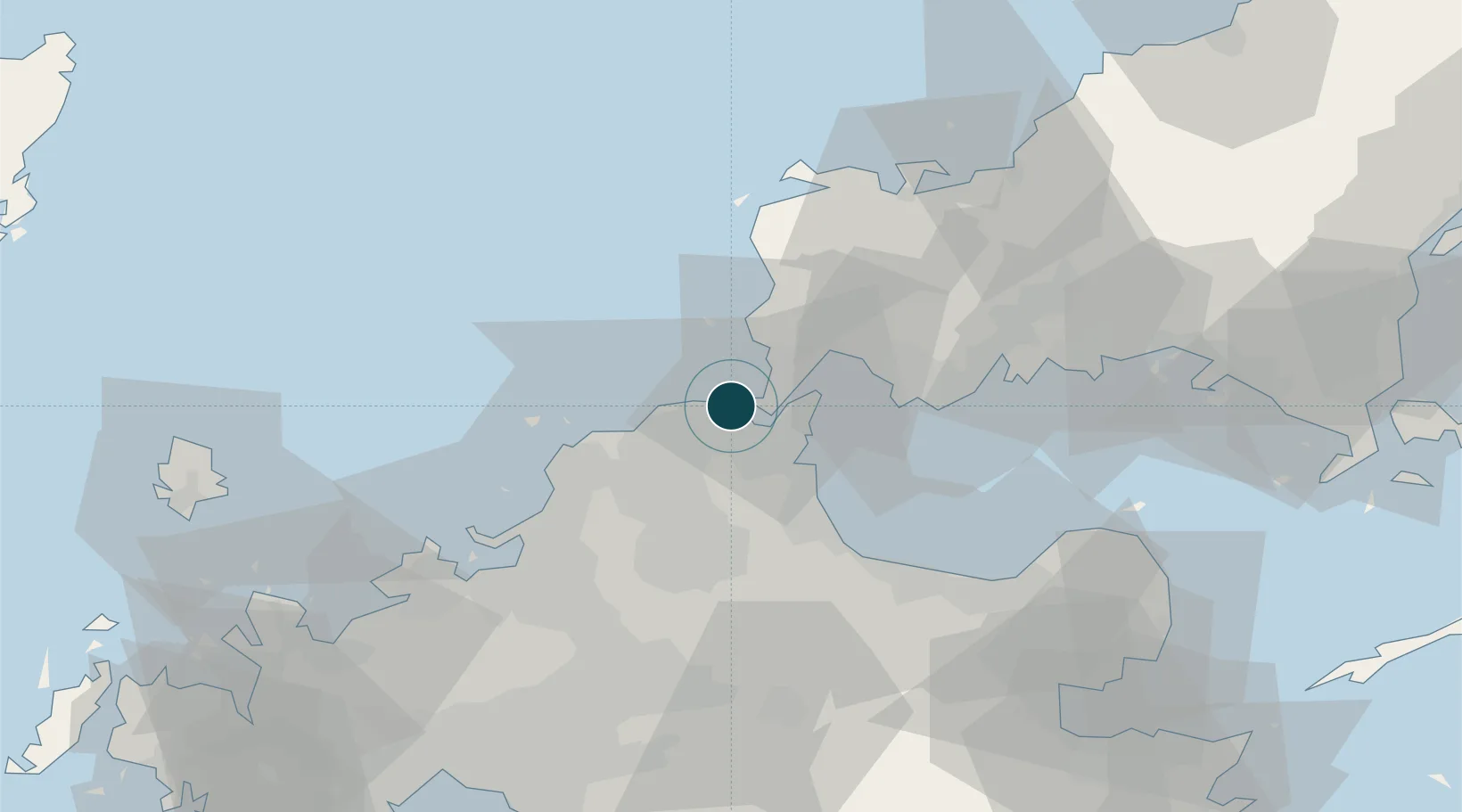
Location
Nearby Logistics Neighbours
Ports
- 1Tobata2 km
- 2Wakamatsu Ko4 km
- 3Muturezima Ko5 km
- 4Kokura Ko7 km
- 5Yahata8 km
Cities
- 1Tobata/Kitakyushu6 km
- 2Wakamatsu/Kitakyushu6 km
- 3Kanmon9 km
- 4Hibikishinko10 km
- 5Yawata/Kitakyushu10 km
Airports
- 1JASDF Ashiya Air Base18 km
- 2Kitakyushu Airport21 km
- 3JASDF Tsuiki Air Base34 km
- 4Yamaguchi Ube Airport41 km
- 5Fukuoka Airport52 km
Trade Zones
- 1Higashi Kyushu Medical Valley Concept Special Zone49 km
- 2Green Asia International Strategic Comprehensive Special Zone53 km
- 3Kyushu Asia Tourism Island Comprehensive Special Zone56 km
- 4Fukuoka City Strategic Special Zone56 km
- 5Yamaguchi Next-Generation Agricultural Production Structure Establishment Special Zone102 km
DatabookThe Record of Consolidated Knowledge
Japan beyond logistics?