UN/LOCODE hub · Japan
JPYWT

Yawata/Kitakyushu

33.8500°, 130.8000°
3
Transport functions

Transport Functions

Port
Rail
Road
Yawata/Kitakyushu is also a profiled seaport →
UN/LOCODE

Hub Profile

Region
40
GeoNames

Location

Location of JPYWT
Natural Earth 10m (public domain) · 40 · JPYWT · 33.85, 130.80GoogleOSMYandex

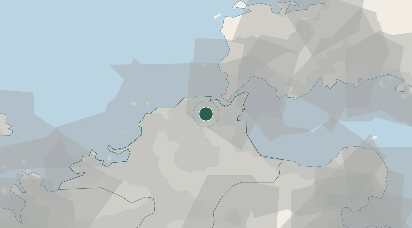
Nearby Logistics Neighbours

Cities
  1. 1Kitakyushu4 km
  2. 2Wakamatsu/Kitakyushu4 km
  3. 3Tobata/Kitakyushu5 km
  4. 4Kokura10 km
  5. 5Kanmon12 km
Nearest neighbours — logibook spatial index (haversine) over the source coordinates
Ports
  1. 1Wakamatsu Ko6 km
  2. 2Tobata8 km
  3. 3Kokura Ko9 km
  4. 4Hibikinada10 km
  5. 5Muturezima Ko14 km
Nearest neighbours — logibook spatial index (haversine) over the source coordinates
Airports
  1. 1JASDF Ashiya Air Base14 km
  2. 2Kitakyushu Airport22 km
  3. 3JASDF Tsuiki Air Base29 km
  4. 4Fukuoka Airport44 km
  5. 5Yamaguchi Ube Airport45 km
Nearest neighbours — logibook spatial index (haversine) over the source coordinates
DatabookThe Record of Consolidated Knowledge
Japan beyond logistics?
Browse databook

All Sources

LocationsUN/LOCODE
UN/LOCODE — free
Portsthe NGA World Port Index
Public domain (US gov)
AirportsOurAirports
Public domain
Trade Zonesthe World Bank SEZ database
CC BY 4.0
Trade ZonesOpen Zone Map
CC BY
← Japan locations