Transport Functions
Port
Hub Profile
Region
40
Logistics facilities
1
Location
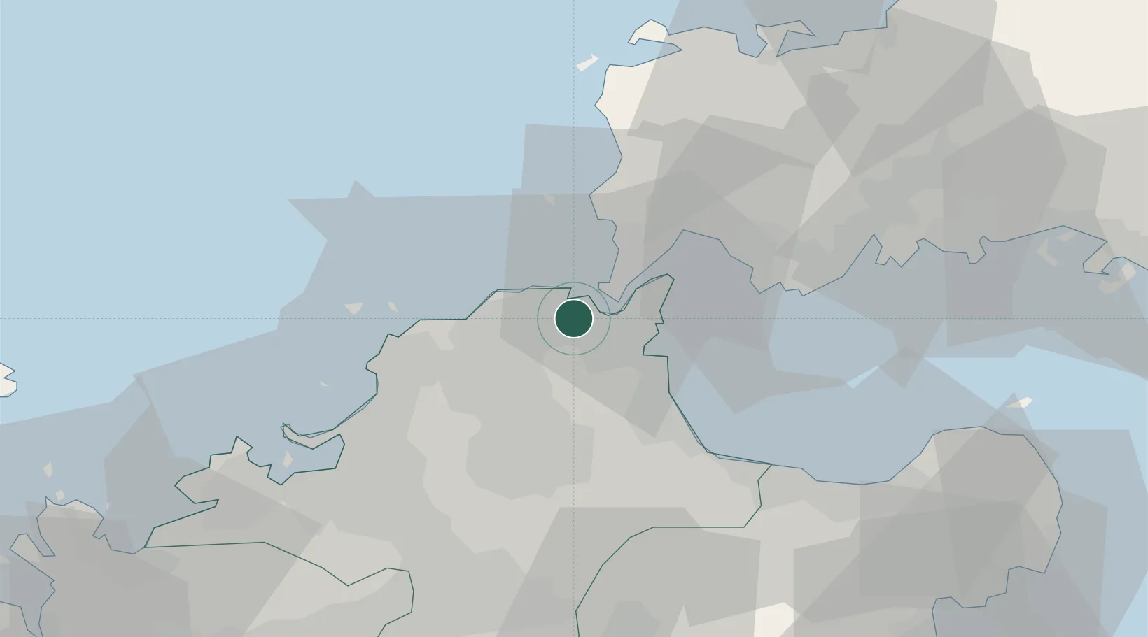
Nearby Logistics Neighbours
Cities
- 1Wakamatsu/Kitakyushu2 km
- 2Yawata/Kitakyushu5 km
- 3Kitakyushu6 km
- 4Kanmon8 km
- 5Kokura10 km
Ports
- 1Wakamatsu Ko2 km
- 2Yahata2 km
- 3Kokura Ko5 km
- 4Hibikinada6 km
- 5Muturezima Ko10 km
Airports
- 1JASDF Ashiya Air Base17 km
- 2Kitakyushu Airport19 km
- 3JASDF Tsuiki Air Base29 km
- 4Yamaguchi Ube Airport42 km
- 5Fukuoka Airport48 km
Trade Zones
- 1Higashi Kyushu Medical Valley Concept Special Zone46 km
- 2Green Asia International Strategic Comprehensive Special Zone49 km
- 3Kyushu Asia Tourism Island Comprehensive Special Zone52 km
- 4Fukuoka City Strategic Special Zone52 km
- 5Yamaguchi Next-Generation Agricultural Production Structure Establishment Special Zone103 km
DatabookThe Record of Consolidated Knowledge
Japan beyond logistics?