UN/LOCODE hub · Japan
JPSBK
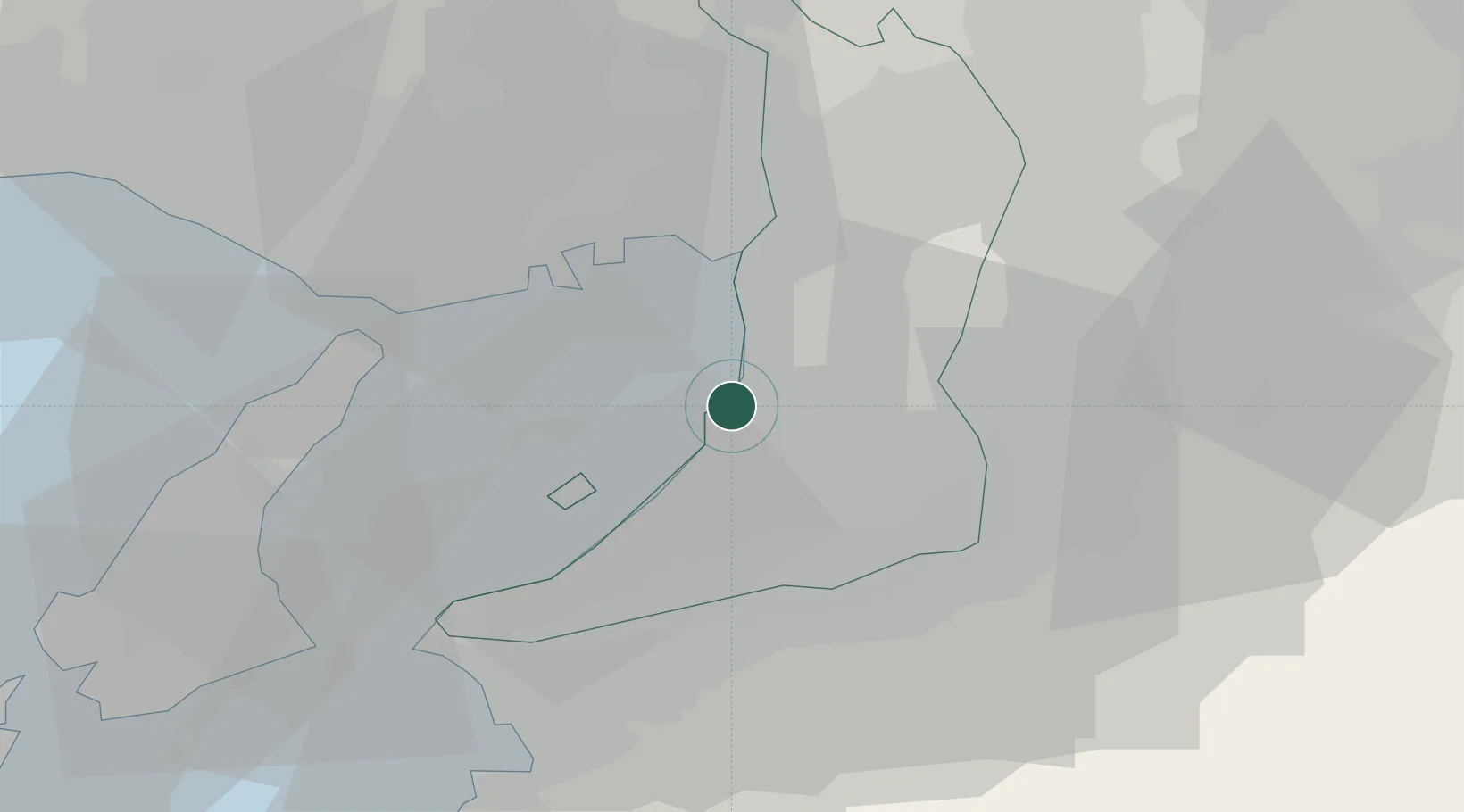
Sakaisenboku
34.5264°, 135.4017°
1
Transport functions
1
Container terminals
Transport Functions
Port
Hub Profile
Region
27
Logistics facilities
1
Container terminals
1
Location
Nearby Logistics Neighbours
Cities
- 1Toyonaka12 km
- 2Osaka13 km
- 3Osakasayama, Osaka14 km
- 4Konohana-Ku, Osaka16 km
- 5Kawachi Nagano16 km
Ports
- 1Hannan Ko8 km
- 2Osaka14 km
- 3Amagasaki19 km
- 4Kobe24 km
- 5Wakayama-Shimotsu Ko44 km
Airports
Trade Zones
- 1Rinku Town Izumisano City Area Regional Revitalization Comprehensive Special Zone17 km
- 2Kansai Innovation International Strategic Comprehensive Special Zone19 km
- 3Wakayama Prefecture "Takano Kumano" Cultural and Regional Promotion Comprehensive Special Zone38 km
- 4Nara Park Tourist Area Revitalization Comprehensive Special Zone44 km
- 5Awaji Environmental Future Island Special Zone50 km
DatabookThe Record of Consolidated Knowledge
Japan beyond logistics?