UN/LOCODE hub · Japan
JPKWO
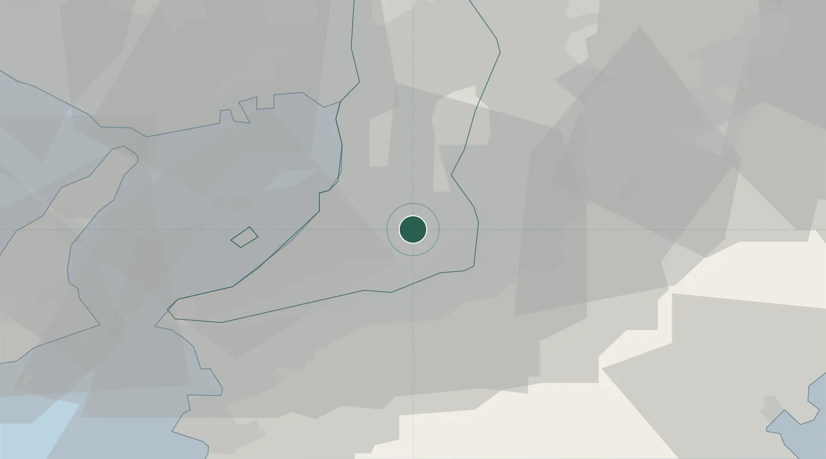
Kawachi Nagano
34.4500°, 135.5500°
101,692
Population
2
Transport functions
Transport Functions
Rail
Road
Hub Profile
Place type
Provincial seat
Region
Osaka
Population
101,692
Time zone
Asia/Tokyo
Elevation
197 m
Location
Nearby Logistics Neighbours
Cities
- 1Osakasayama, Osaka6 km
- 2Tondabayashi7 km
- 3Habikino12 km
- 4Fujiidera14 km
- 5Sakaisenboku16 km
Ports
- 1Sakai-Senboku15 km
- 2Hannan Ko18 km
- 3Osaka25 km
- 4Amagasaki32 km
- 5Kobe40 km
Airports
- 1Yao Airport17 km
- 2Kansai International Airport28 km
- 3Kobe Airport36 km
- 4Osaka Itami International Airport38 km
- 5Nanki Shirahama Airport89 km
Trade Zones
- 1Rinku Town Izumisano City Area Regional Revitalization Comprehensive Special Zone24 km
- 2Wakayama Prefecture "Takano Kumano" Cultural and Regional Promotion Comprehensive Special Zone26 km
- 3Kansai Innovation International Strategic Comprehensive Special Zone27 km
- 4Nara Park Tourist Area Revitalization Comprehensive Special Zone38 km
- 5Awaji Environmental Future Island Special Zone61 km
DatabookThe Record of Consolidated Knowledge
Japan beyond logistics?