Transport Functions
Multimodal
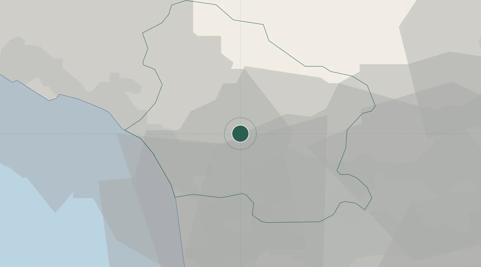
Hub Profile
Place type
District seat
Region
Tuscany
Population
207
Time zone
Europe/Rome
Elevation
504 m
Location
Nearby Logistics Neighbours
Cities
- 1Piano di Coreglia10 km
- 2Gallicano11 km
- 3Barga12 km
- 4Coreglia Antelminelli14 km
- 5Pracando19 km
Ports
- 1Viareggio19 km
- 2Marina Di Carrara30 km
- 3Livorno48 km
- 4La Spezia49 km
- 5Vada69 km
Airports
- 1Pisa International Airport32 km
- 2Sarzana-Luni Air Base37 km
- 3Florence Airport, Peretola65 km
- 4Bologna Guglielmo Marconi Airport94 km
- 5Parma Airport96 km
Trade Zones
- 1Consorzio Zona Industriale e Porto Fluviale di Padova198 km
- 2Free Port of Venice221 km
- 3Magazzini Generali Con Chiasso239 km
- 4ZFU LAriane252 km
- 5Livigno Free Trade Zone286 km
DatabookThe Record of Consolidated Knowledge
Italy beyond logistics?