Transport Functions
Rail
Road
Hub Profile
Place type
District seat
Region
Tuscany
Population
7,656
Time zone
Europe/Rome
Elevation
2 m
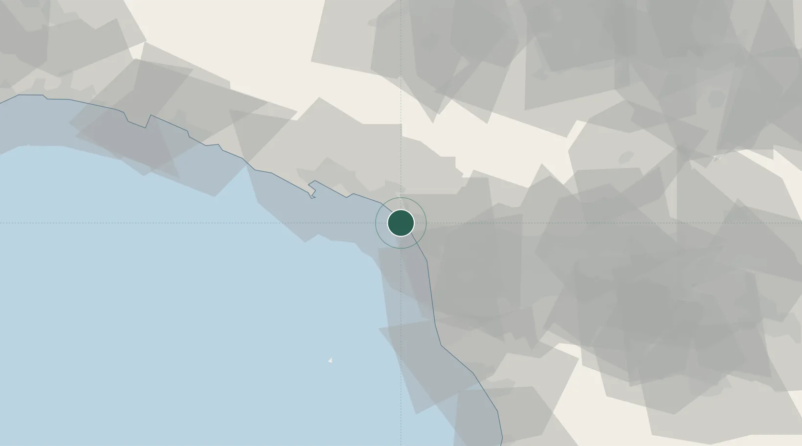
Location
Nearby Logistics Neighbours
Cities
- 1Marina di Massa8 km
- 2Massa10 km
- 3Pescaglia20 km
- 4Lerici24 km
- 5Gallicano25 km
Ports
- 1Viareggio11 km
- 2Marina Di Carrara13 km
- 3La Spezia31 km
- 4Livorno46 km
- 5Vada71 km
Airports
- 1Sarzana-Luni Air Base21 km
- 2Pisa International Airport35 km
- 3Florence Airport, Peretola85 km
- 4Parma Airport98 km
- 5Bologna Guglielmo Marconi Airport111 km
Trade Zones
- 1Consorzio Zona Industriale e Porto Fluviale di Padova212 km
- 2Magazzini Generali Con Chiasso232 km
- 3ZFU LAriane232 km
- 4Free Port of Venice236 km
- 5Livigno Free Trade Zone287 km
DatabookThe Record of Consolidated Knowledge
Italy beyond logistics?