Transport Functions
Multimodal
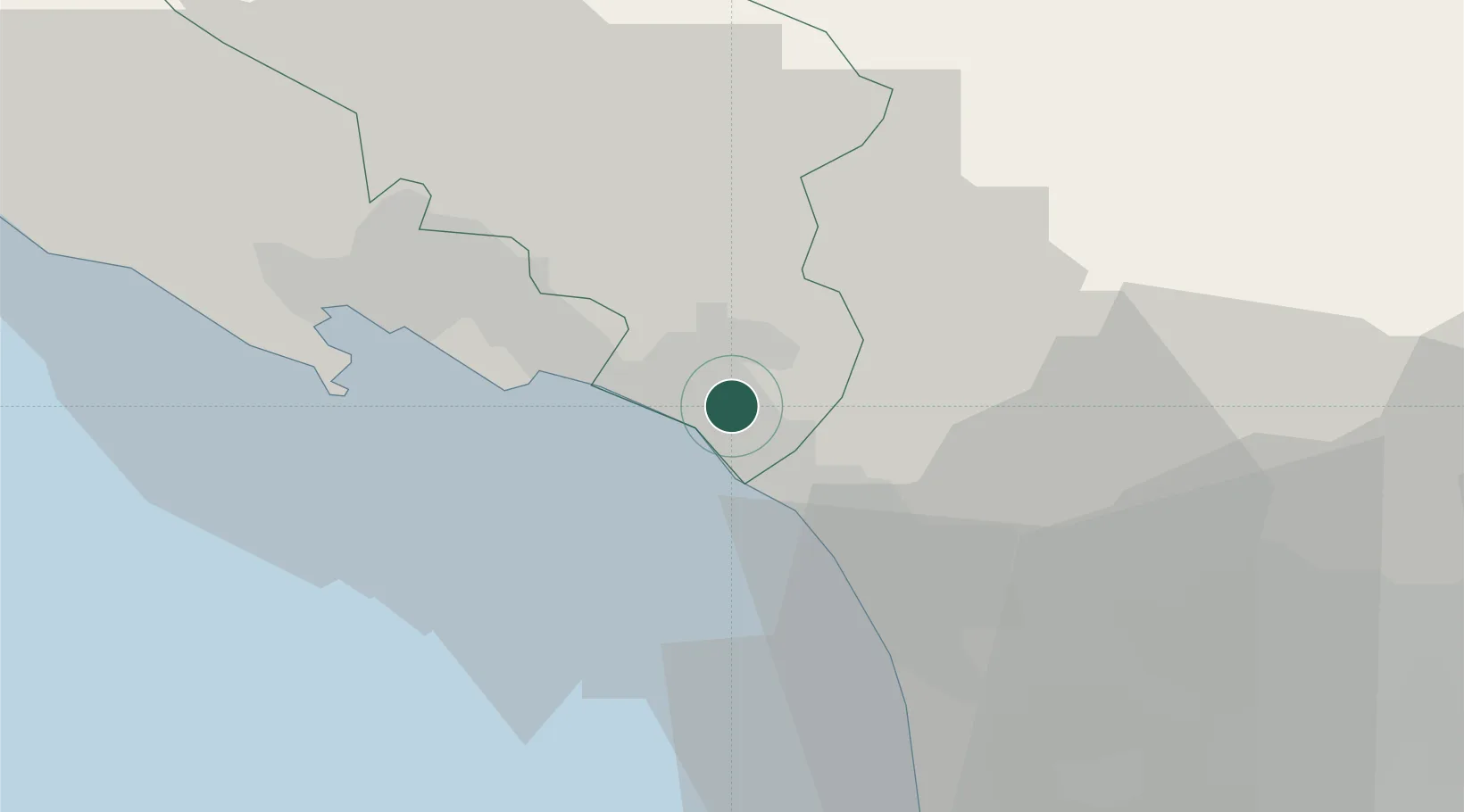
Hub Profile
Place type
Provincial seat
Region
Tuscany
Population
64,783
Time zone
Europe/Rome
Elevation
65 m
Location
Nearby Logistics Neighbours
Cities
- 1Marina di Massa5 km
- 2Forte dei Marmi10 km
- 3Lerici18 km
- 4Vezzano Ligure21 km
- 5Portovenere23 km
Ports
- 1Marina Di Carrara7 km
- 2Viareggio21 km
- 3La Spezia25 km
- 4Livorno56 km
- 5Chiavari - Lavagna71 km
Airports
- 1Sarzana-Luni Air Base13 km
- 2Pisa International Airport44 km
- 3Parma Airport89 km
- 4Florence Airport, Peretola89 km
- 5Piacenza San Damiano Air Base103 km
Trade Zones
- 1Consorzio Zona Industriale e Porto Fluviale di Padova207 km
- 2Magazzini Generali Con Chiasso222 km
- 3ZFU LAriane231 km
- 4Free Port of Venice232 km
- 5Livigno Free Trade Zone278 km
DatabookThe Record of Consolidated Knowledge
Italy beyond logistics?