Transport Functions
Port
Road
Hub Profile
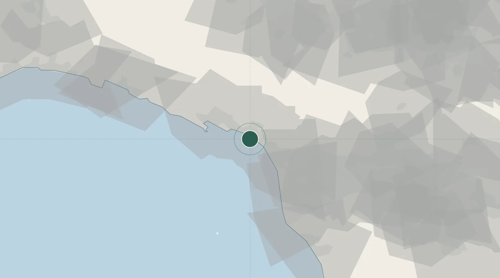
Place type
Populated place
Region
Tuscany
Population
19,092
Time zone
Europe/Rome
Elevation
3 m
Location
Nearby Logistics Neighbours
Cities
- 1Massa5 km
- 2Forte dei Marmi8 km
- 3Lerici16 km
- 4Portovenere21 km
- 5Vezzano Ligure22 km
Ports
- 1Marina Di Carrara5 km
- 2Viareggio19 km
- 3La Spezia24 km
- 4Livorno53 km
- 5Chiavari - Lavagna71 km
Airports
- 1Sarzana-Luni Air Base13 km
- 2Pisa International Airport42 km
- 3Florence Airport, Peretola91 km
- 4Parma Airport93 km
- 5Piacenza San Damiano Air Base106 km
Trade Zones
- 1Consorzio Zona Industriale e Porto Fluviale di Padova211 km
- 2Magazzini Generali Con Chiasso224 km
- 3ZFU LAriane227 km
- 4Free Port of Venice236 km
- 5Livigno Free Trade Zone282 km
DatabookThe Record of Consolidated Knowledge
Italy beyond logistics?