Transport Functions
Rail
Road
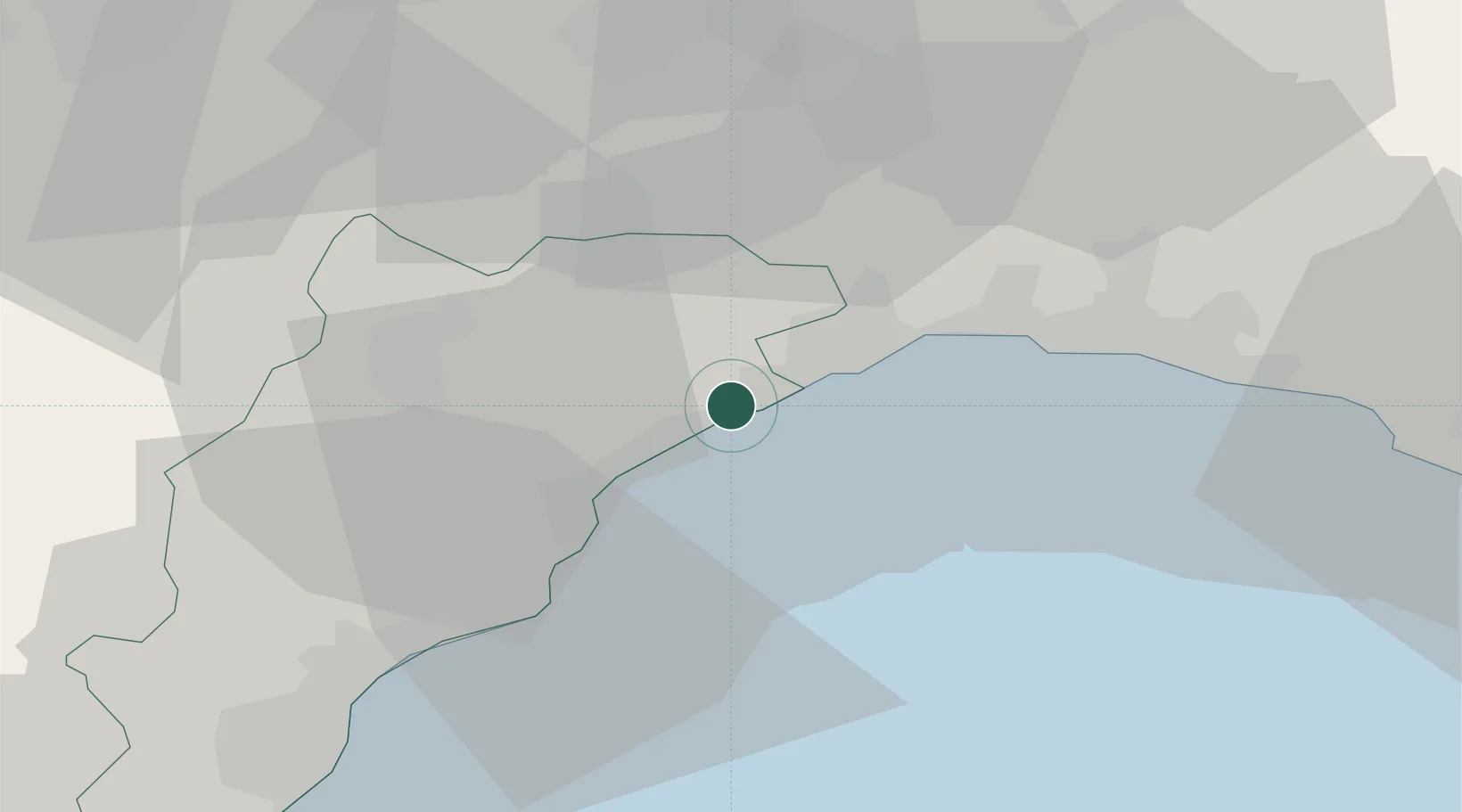
Hub Profile
Place type
District seat
Region
Liguria
Population
11,534
Time zone
Europe/Rome
Elevation
10 m
Location
Nearby Logistics Neighbours
Cities
- 1Stella7 km
- 2Arenzano10 km
- 3Savona11 km
- 4Vado Ligure15 km
- 5Voltri16 km
Ports
- 1Savona8 km
- 2Rada Di Vado15 km
- 3Genova29 km
- 4Chiavari - Lavagna61 km
- 5Imperia69 km
Airports
Trade Zones
- 1ZFU LAriane124 km
- 2Magazzini Generali Con Chiasso167 km
- 3Aosta Valley205 km
- 4ZFU Grenoble245 km
- 5ZFU Toulon252 km
DatabookThe Record of Consolidated Knowledge
Italy beyond logistics?