Economic Revitalization Project · France
ZFU Grenoble Active
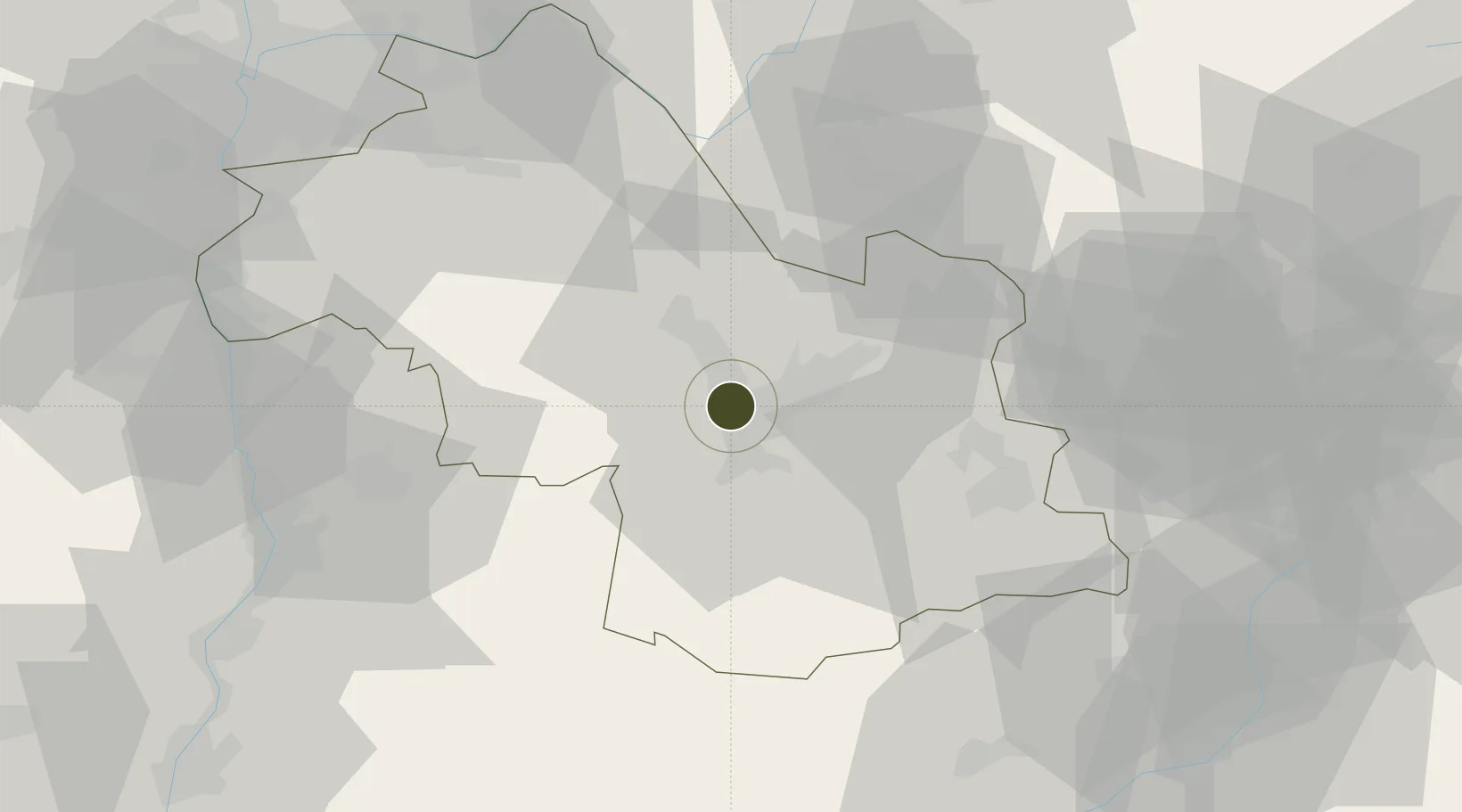
45.1842°, 5.6804°
119 ha
Zone area
206.0 km
Nearest port
33.9 km
Nearest airport
Gateway access
Zone profile
Zone type
Economic Revitalization Project
Region
Isère
Status
Active
Management
Public
Operator
Ville de Grenoble
Legal framework
Décret no 65-939 du 8 novembre 1965, Décret du 9 Octobre 2008
Location
Nearby Logistics Neighbours
Ports
- 1Port-de-Bouc206 km
- 2Fos207 km
- 3Nice208 km
- 4Marseille209 km
- 5Villefranche210 km
Airports
Cities
- 1Grenoble4 km
- 2Saint-Égrève6 km
- 3Champagnier10 km
- 4Herbeys11 km
- 5Champ-sur-Drac12 km
Trade Zones
- 1ZFU Valence72 km
- 2ZFU Vénissieux86 km
- 3ZFU Vaulx-en-Velin89 km
- 4ZFU Lyon 9e95 km
- 5ZFU Rillieux-la-Pape96 km
DatabookThe Record of Consolidated Knowledge
France beyond logistics?