Economic Revitalization Project · Italy
Aosta Valley Active
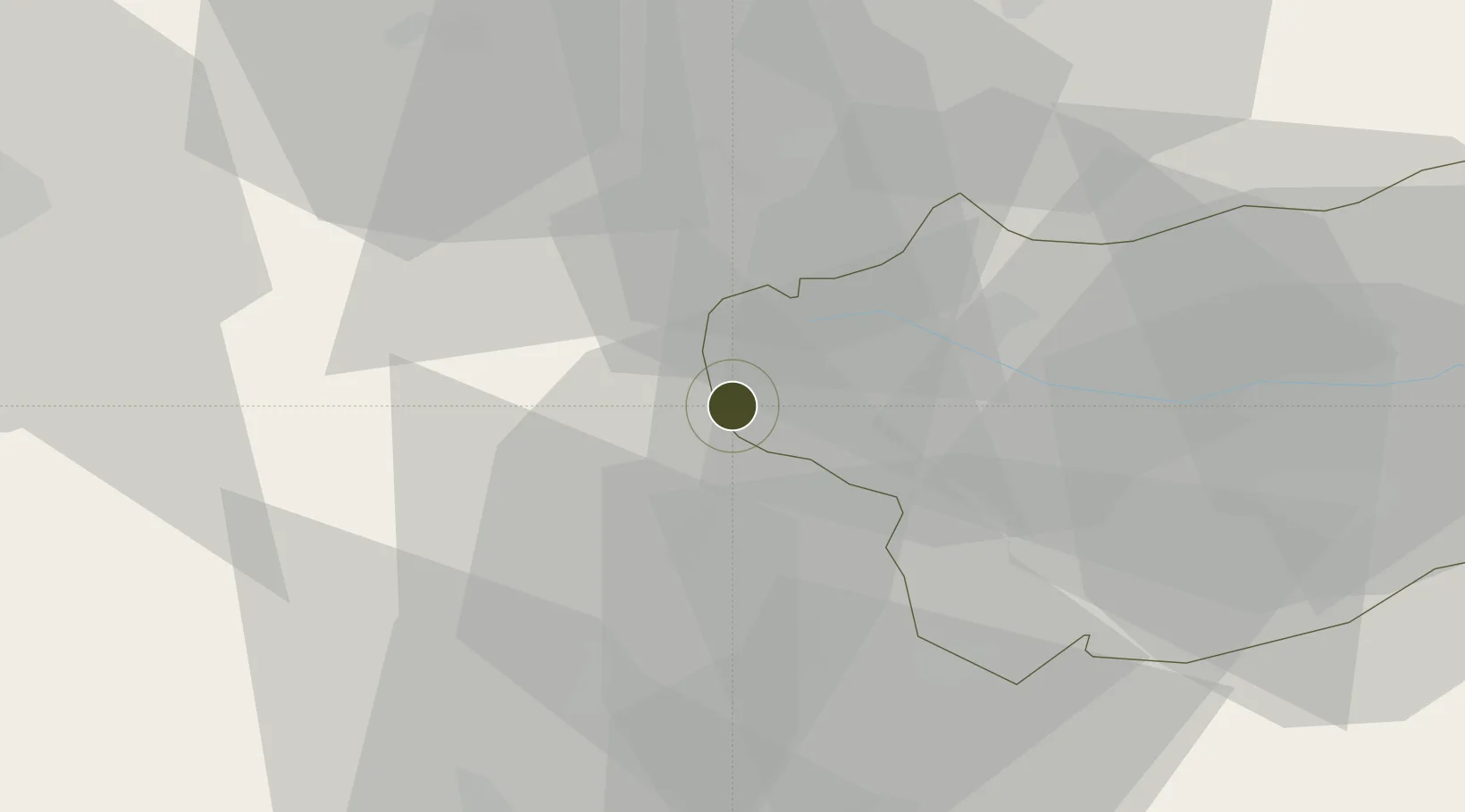
45.7260°, 6.8100°
326,100 ha
Zone area
205.4 km
Nearest port
43.4 km
Nearest airport
Gateway access
Zone profile
Zone type
Economic Revitalization Project
Region
Aoste
Status
Active
Management
Public
Operator
Regional Council of the Aosta Valley
Legal framework
Legislative Decree no. 50/2016
Location
Nearby Logistics Neighbours
Ports
- 1Savona205 km
- 2Rada Di Vado208 km
- 3Genova222 km
- 4San Remo226 km
- 5Imperia227 km
Airports
- 1Aosta Corrado Gex Airport43 km
- 2Annecy Meythet airport60 km
- 3Annemasse Airfield67 km
- 4Sion Airport68 km
- 5Chambéry Aix les Bains airport73 km
Cities
- 1Bourg-Saint-Maurice13 km
- 2Les Houches18 km
- 3Landry21 km
- 4Saint-Gervais-les-Bains21 km
- 5Passy23 km
Trade Zones
DatabookThe Record of Consolidated Knowledge
Italy beyond logistics?