Transport Functions
Port
Road
Hub Profile
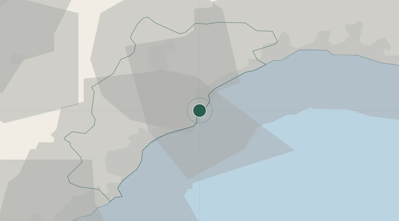
Place type
District seat
Region
Liguria
Population
3,841
Time zone
Europe/Rome
Elevation
7 m
Location
Nearby Logistics Neighbours
Cities
- 1Noli4 km
- 2Vado Ligure4 km
- 3Savona9 km
- 4Finale Ligure10 km
- 5Loano17 km
Ports
- 1Rada Di Vado5 km
- 2Savona11 km
- 3Genova44 km
- 4Imperia50 km
- 5San Remo69 km
Airports
Trade Zones
- 1ZFU LAriane106 km
- 2Magazzini Generali Con Chiasso184 km
- 3Aosta Valley209 km
- 4ZFU Toulon235 km
- 5ZFU Grenoble241 km
DatabookThe Record of Consolidated Knowledge
Italy beyond logistics?