UN/LOCODE hub · Italy
ITVDL
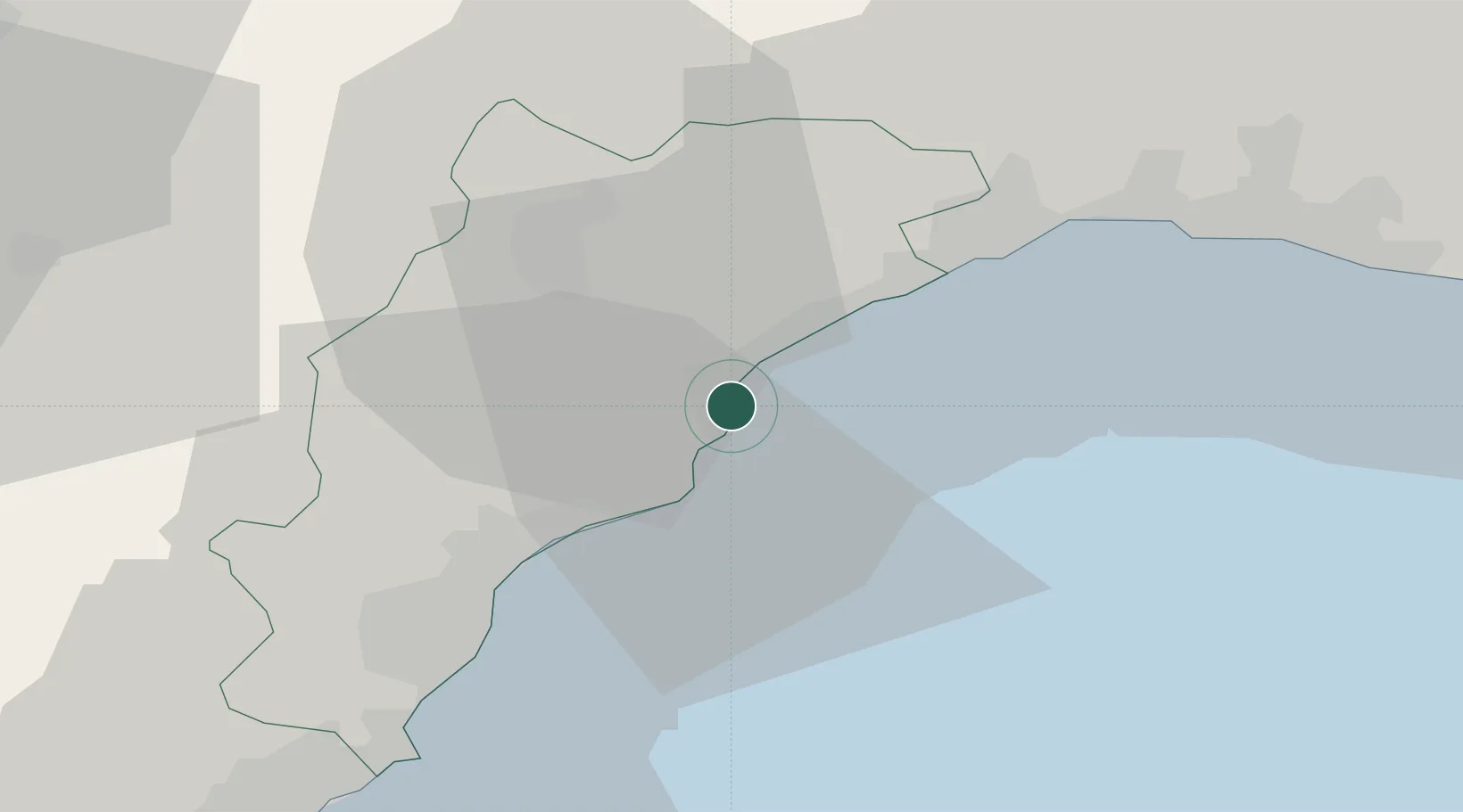
Vado Ligure
44.2654°, 8.4408°
7,991
Population
3
Transport functions
2
Container terminals
Transport Functions
Port
Rail
Road
Hub Profile
Place type
District seat
Region
Liguria
Population
7,991
Time zone
Europe/Rome
Elevation
11 m
Logistics facilities
10
Container terminals
2
Location
Nearby Logistics Neighbours
Cities
- 1Spotorno4 km
- 2Savona5 km
- 3Noli7 km
- 4Stella14 km
- 5Finale Ligure14 km
Ports
- 1Savona7 km
- 2Genova41 km
- 3Imperia54 km
- 4Chiavari - Lavagna71 km
- 5San Remo72 km
Airports
Trade Zones
- 1ZFU LAriane109 km
- 2Magazzini Generali Con Chiasso180 km
- 3Aosta Valley207 km
- 4ZFU Toulon238 km
- 5ZFU Grenoble241 km
DatabookThe Record of Consolidated Knowledge
Italy beyond logistics?