Transport Functions
Port
Road
Hub Profile
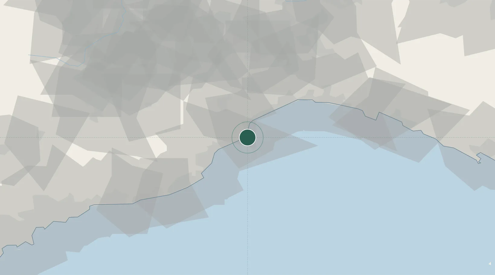
Place type
District seat
Region
Liguria
Population
1,673
Time zone
Europe/Rome
Elevation
2 m
Location
Nearby Logistics Neighbours
Cities
- 1Spotorno4 km
- 2Vado Ligure7 km
- 3Finale Ligure9 km
- 4Savona11 km
- 5Loano16 km
Ports
- 1Rada Di Vado7 km
- 2Savona14 km
- 3Genova45 km
- 4Imperia48 km
- 5San Remo67 km
Airports
Trade Zones
- 1ZFU LAriane105 km
- 2Magazzini Generali Con Chiasso187 km
- 3Aosta Valley212 km
- 4ZFU Toulon234 km
- 5ZFU La Seyne-sur-Mer243 km
DatabookThe Record of Consolidated Knowledge
Italy beyond logistics?