Transport Functions
Port
Rail
Road
Hub Profile
Place type
Provincial seat
Region
Liguria
Population
61,345
Time zone
Europe/Rome
Elevation
4 m
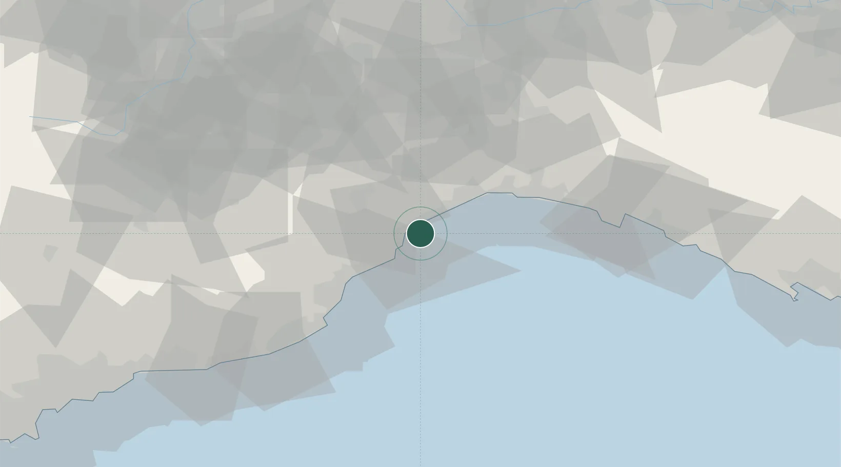
Location
Nearby Logistics Neighbours
Cities
- 1Vado Ligure5 km
- 2Spotorno9 km
- 3Varazze11 km
- 4Noli11 km
- 5Stella11 km
Ports
- 1Rada Di Vado4 km
- 2Genova36 km
- 3Imperia58 km
- 4Chiavari - Lavagna66 km
- 5San Remo77 km
Airports
Trade Zones
- 1ZFU LAriane114 km
- 2Magazzini Generali Con Chiasso177 km
- 3Aosta Valley208 km
- 4ZFU Toulon243 km
- 5ZFU Grenoble244 km
DatabookThe Record of Consolidated Knowledge
Italy beyond logistics?