Transport Functions
Rail
Road
Hub Profile
Region
RN
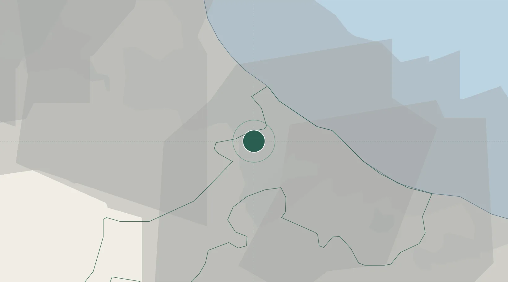
Location
Nearby Logistics Neighbours
Cities
- 1Bellaria10 km
- 2Rimini12 km
- 3Cerasolo12 km
- 4Acquaviva13 km
- 5Gualdicciolo13 km
Ports
- 1Rimini11 km
- 2Cesenatico16 km
- 3Pesaro41 km
- 4Porto Di Corsini49 km
- 5Fano52 km
Airports
Trade Zones
- 1Port of Pula Free Zone142 km
- 2Free Port of Venice152 km
- 3Consorzio Zona Industriale e Porto Fluviale di Padova152 km
- 4Port of Rijeka Free Zone191 km
- 5Free Port of Trieste204 km
DatabookThe Record of Consolidated Knowledge
Italy beyond logistics?