Transport Functions
Multimodal
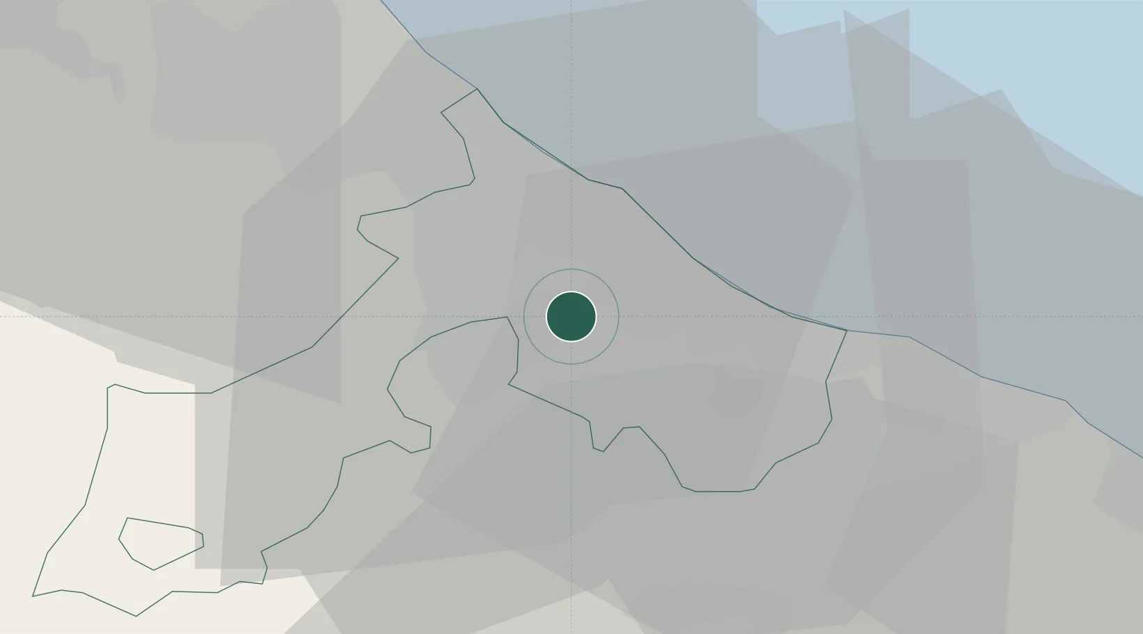
Hub Profile
Place type
Populated place
Region
Emilia-Romagna
Population
1,309
Time zone
Europe/Rome
Elevation
132 m
Location
Nearby Logistics Neighbours
Cities
- 1Casalecchio7 km
- 2Taverna8 km
- 3Miramare9 km
- 4Riccione9 km
- 5Acquaviva10 km
Ports
- 1Rimini11 km
- 2Cesenatico27 km
- 3Pesaro30 km
- 4Fano41 km
- 5Porto Di Corsini60 km
Airports
Trade Zones
DatabookThe Record of Consolidated Knowledge
Italy beyond logistics?