Transport Functions
Port
Rail
Road
Hub Profile
Place type
Urban district
Region
Emilia-Romagna
Time zone
Europe/Rome
Elevation
1 m
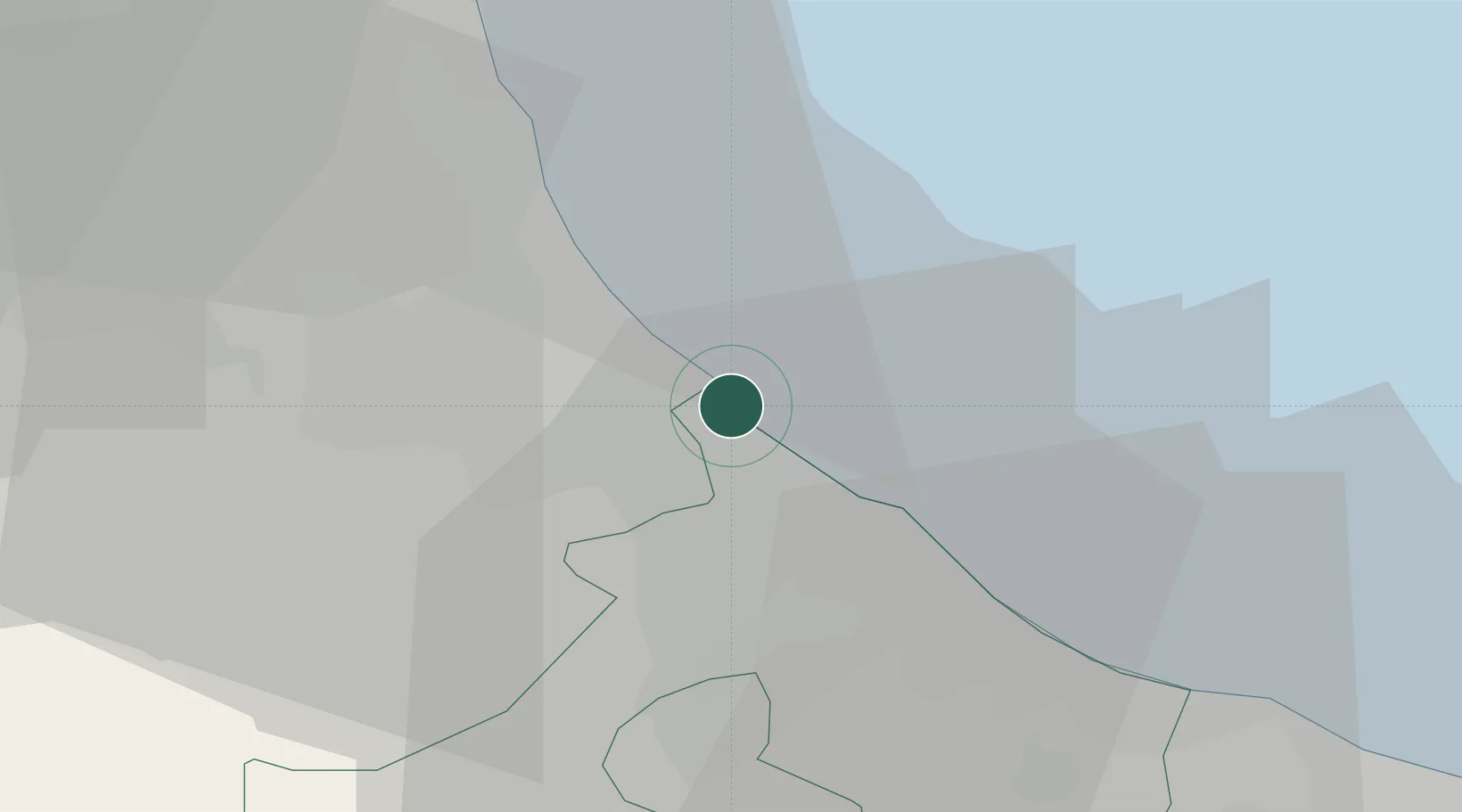
Location
Nearby Logistics Neighbours
Cities
- 1Cesenatico7 km
- 2Santarcangelo di Romagna10 km
- 3Rimini13 km
- 4Cervia15 km
- 5Miramare18 km
Ports
- 1Cesenatico8 km
- 2Rimini12 km
- 3Porto Di Corsini41 km
- 4Pesaro43 km
- 5Fano55 km
Airports
Trade Zones
- 1Port of Pula Free Zone134 km
- 2Free Port of Venice143 km
- 3Consorzio Zona Industriale e Porto Fluviale di Padova144 km
- 4Port of Rijeka Free Zone183 km
- 5Free Port of Trieste195 km
DatabookThe Record of Consolidated Knowledge
Italy beyond logistics?