Transport Functions
Rail
Road
Hub Profile
Region
RN
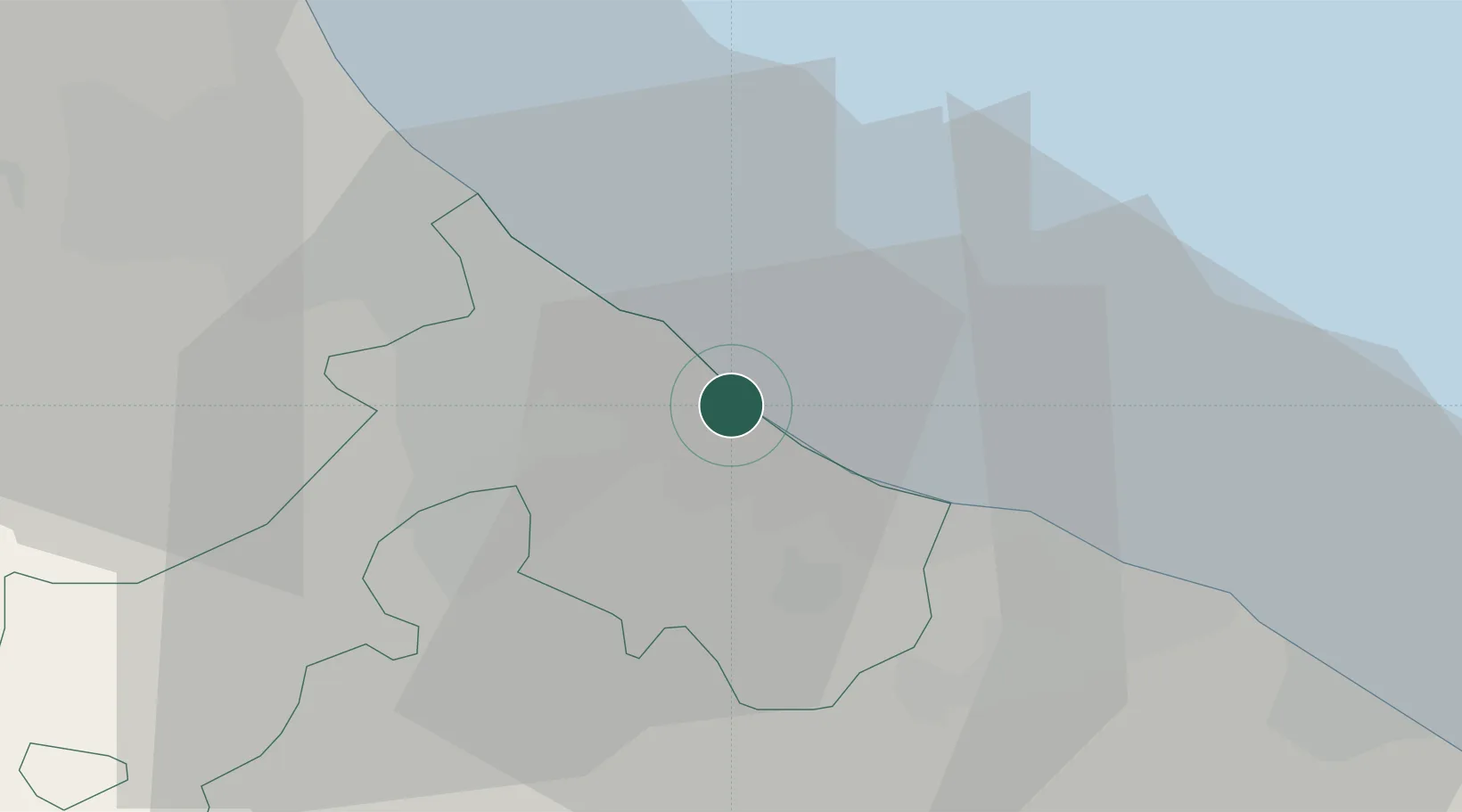
Location
Nearby Logistics Neighbours
Cities
- 1Casalecchio4 km
- 2Rimini5 km
- 3Riccione6 km
- 4Cerasolo9 km
- 5Misano Adriatico10 km
Ports
- 1Rimini6 km
- 2Cesenatico26 km
- 3Pesaro26 km
- 4Fano38 km
- 5Porto Di Corsini58 km
Airports
Trade Zones
- 1Port of Pula Free Zone134 km
- 2Free Port of Venice157 km
- 3Consorzio Zona Industriale e Porto Fluviale di Padova160 km
- 4Port of Rijeka Free Zone183 km
- 5Free Port of Trieste201 km
DatabookThe Record of Consolidated Knowledge
Italy beyond logistics?