Transport Functions
Port
Rail
Road
Airport
Hub Profile
Place type
Provincial seat
Region
Emilia-Romagna
Population
148,688
Time zone
Europe/Rome
Elevation
5 m
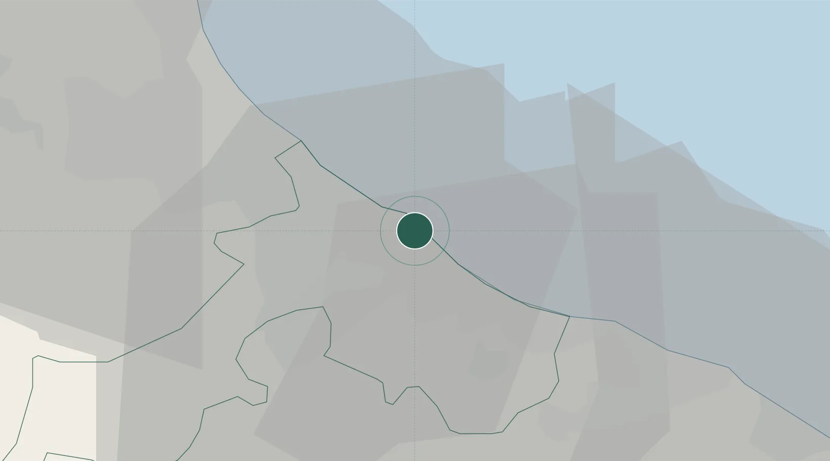
Location
Nearby Logistics Neighbours
Cities
- 1Miramare5 km
- 2Casalecchio8 km
- 3Cerasolo10 km
- 4Riccione11 km
- 5Santarcangelo di Romagna12 km
Ports
- 1Cesenatico21 km
- 2Pesaro30 km
- 3Fano42 km
- 4Porto Di Corsini53 km
- 5Senigallia64 km
Airports
Trade Zones
- 1Port of Pula Free Zone133 km
- 2Free Port of Venice153 km
- 3Consorzio Zona Industriale e Porto Fluviale di Padova156 km
- 4Port of Rijeka Free Zone183 km
- 5Free Port of Trieste198 km
DatabookThe Record of Consolidated Knowledge
Italy beyond logistics?