Seaport · Italy

TerracinaITTRC

41.2830°, 13.2580°

Channel & Berth Profile

NGA World Port Index

Facilities & Capabilities

Container
Ro-Ro
Liquid bulk
Dry bulk
Oil terminal
Break bulk
Dry dock
Repairs
Bunkering
Rail link
Dangerous cargo
ISPS security
NGA World Port Index

Harbour Specifications

Harbour size
Small
NGA World Port Index
Water body
Tyrrhenian Sea; Mediterranean Sea; North Atlantic Ocean
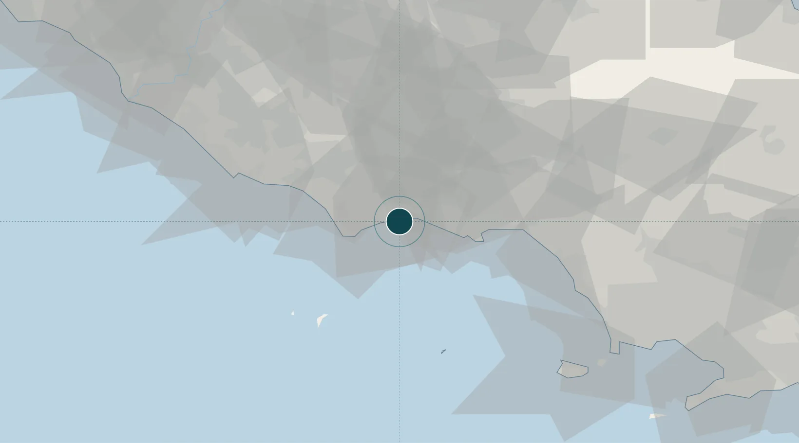
NGA World Port Index

Location

Location of ITTRC
Natural Earth 10m (public domain) · Latina · ITTRC · 41.28, 13.26GoogleOSMYandex

Nearby Logistics Neighbours

Ports
  1. 1San Felice Circeo15 km
  2. 2Gaeta28 km
  3. 3Formia30 km
  4. 4Ponza50 km
  5. 5Anzio - Nettuno55 km
Nearest neighbours — logibook spatial index (haversine) over the source coordinates
Cities
  1. 1Sperlonga15 km
  2. 2San Felice Circeo16 km
  3. 3Priverno22 km
  4. 4Prossedi26 km
  5. 5Gaeta29 km
Nearest neighbours — logibook spatial index (haversine) over the source coordinates
Airports
  1. 1Latina Air Base41 km
  2. 2Grazzanise Air Base73 km
  3. 3Pratica Di Mare Air Base79 km
  4. 4Ciampino–G. B. Pastine International Airport80 km
  5. 5Guidonia Air Base90 km
Nearest neighbours — logibook spatial index (haversine) over the source coordinates
Trade Zones
  1. 1Campania Special Economic Zone (Naples and Salerno)69 km
  2. 2Ionian Special Economic Zone78 km
  3. 3Abruzzo Special Economic Zone112 km
  4. 4Puglia (Apulia) Special Economic Zone Area199 km
  5. 5Basilicata Special Economic Zone210 km
Nearest neighbours — logibook spatial index (haversine) over the source coordinates
DatabookThe Record of Consolidated Knowledge
Italy beyond logistics?
Browse databook

All Sources

Portsthe NGA World Port Index
Public domain (US gov)
AirportsOurAirports
Public domain
LocationsUN/LOCODE
UN/LOCODE — free
Trade Zonesthe World Bank SEZ database
CC BY 4.0
Trade ZonesOpen Zone Map
CC BY
← Italy ports