Transport Functions
Rail
Road
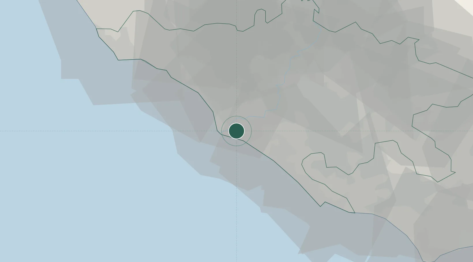
Hub Profile
Place type
Populated place
Region
Lazio
Time zone
Europe/Rome
Elevation
3 m
Location
Nearby Logistics Neighbours
Cities
- 1Fiumicino6 km
- 2Acilia7 km
- 3Ponte Galeria9 km
- 4Fregene14 km
- 5Torvaianica19 km
Ports
- 1Fiumicino8 km
- 2Anzio - Nettuno44 km
- 3Civitavecchia59 km
- 4San Felice Circeo88 km
- 5Terracina95 km
Airports
Trade Zones
DatabookThe Record of Consolidated Knowledge
Italy beyond logistics?