Transport Functions
Port
Rail
Road
Hub Profile
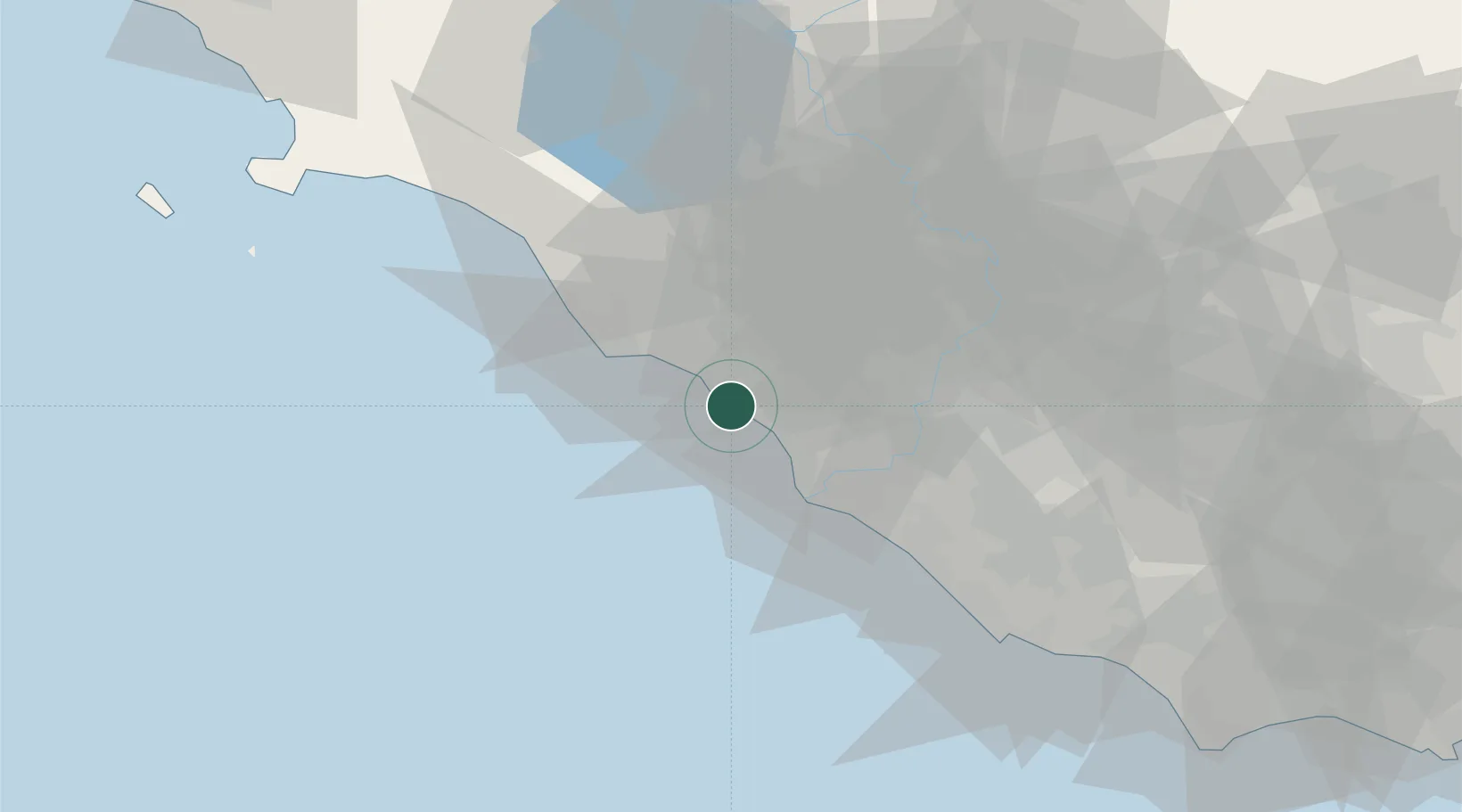
Place type
District seat
Region
Lazio
Population
34,204
Time zone
Europe/Rome
Elevation
2 m
Location
Nearby Logistics Neighbours
Cities
- 1Fregene13 km
- 2Santa Marinella22 km
- 3Fiumicino22 km
- 4Anguillara Sabazia23 km
- 5Ponte Galeria26 km
Ports
- 1Fiumicino21 km
- 2Civitavecchia32 km
- 3Anzio - Nettuno71 km
- 4Porto Ercole89 km
- 5Porto Santo Stefano97 km
Airports
DatabookThe Record of Consolidated Knowledge
Italy beyond logistics?