Transport Functions
Rail
Road
Hub Profile
Region
RM
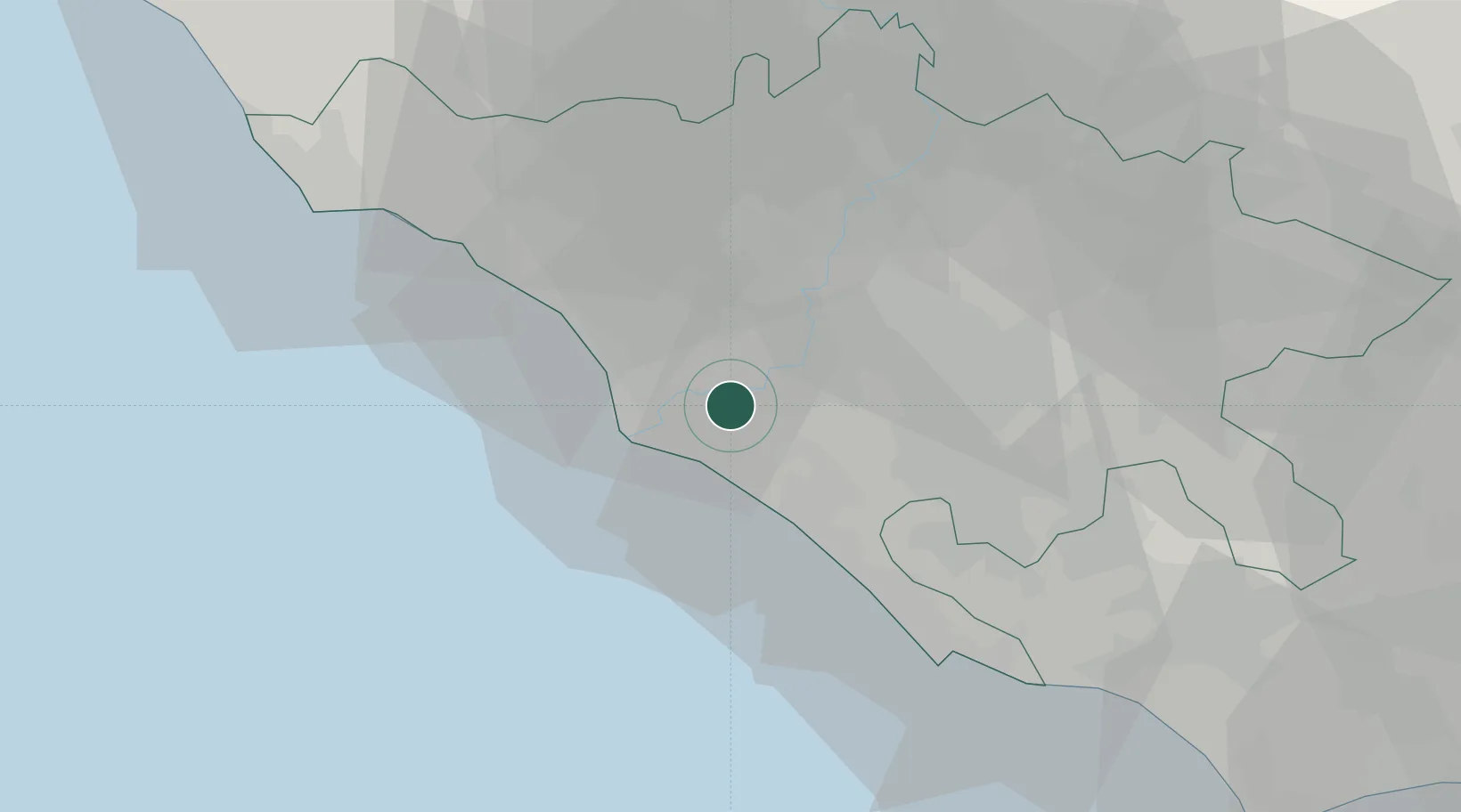
Location
Nearby Logistics Neighbours
Cities
- 1Ponte Galeria4 km
- 2Ostia7 km
- 3Fiumicino11 km
- 4Fregene16 km
- 5Rome (Roma)16 km
Ports
- 1Fiumicino13 km
- 2Anzio - Nettuno44 km
- 3Civitavecchia61 km
- 4San Felice Circeo87 km
- 5Terracina93 km
Airports
DatabookThe Record of Consolidated Knowledge
Italy beyond logistics?