Seaport · Italy

San Felice CirceoITSFE

41.2260°, 13.0970°
San Felice Circeo is also a UN/LOCODE logistics hub →

Channel & Berth Profile

NGA World Port Index

Facilities & Capabilities

Container
Ro-Ro
Liquid bulk
Dry bulk
Oil terminal
Break bulk
Dry dock
Repairs
Bunkering
Rail link
Dangerous cargo
ISPS security
NGA World Port Index

Harbour Specifications

Harbour size
Small
NGA World Port Index
Water body
Tyrrhenian Sea; Mediterranean Sea; North Atlantic Ocean
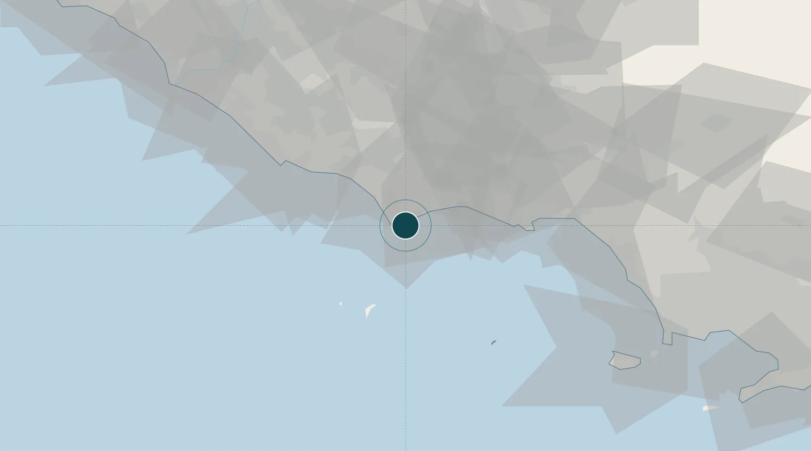
NGA World Port Index

Location

Location of ITSFE
Natural Earth 10m (public domain) · Latina · ITSFE · 41.23, 13.10GoogleOSMYandex

Nearby Logistics Neighbours

Ports
  1. 1Terracina15 km
  2. 2Ponza39 km
  3. 3Gaeta40 km
  4. 4Formia43 km
  5. 5Anzio - Nettuno46 km
Nearest neighbours — logibook spatial index (haversine) over the source coordinates
Cities
  1. 1Priverno27 km
  2. 2Sperlonga28 km
  3. 3Borgo Piave35 km
  4. 4Prossedi35 km
  5. 5Ponza38 km
Nearest neighbours — logibook spatial index (haversine) over the source coordinates
Airports
  1. 1Latina Air Base39 km
  2. 2Pratica Di Mare Air Base72 km
  3. 3Ciampino–G. B. Pastine International Airport76 km
  4. 4Grazzanise Air Base85 km
  5. 5Guidonia Air Base90 km
Nearest neighbours — logibook spatial index (haversine) over the source coordinates
Trade Zones
  1. 1Campania Special Economic Zone (Naples and Salerno)72 km
  2. 2Ionian Special Economic Zone92 km
  3. 3Abruzzo Special Economic Zone120 km
  4. 4Puglia (Apulia) Special Economic Zone Area212 km
  5. 5Basilicata Special Economic Zone220 km
Nearest neighbours — logibook spatial index (haversine) over the source coordinates
DatabookThe Record of Consolidated Knowledge
Italy beyond logistics?
Browse databook

All Sources

Portsthe NGA World Port Index
Public domain (US gov)
AirportsOurAirports
Public domain
LocationsUN/LOCODE
UN/LOCODE — free
Trade Zonesthe World Bank SEZ database
CC BY 4.0
Trade ZonesOpen Zone Map
CC BY
← Italy ports